US $65
Directions
Similar products from Inclinometers
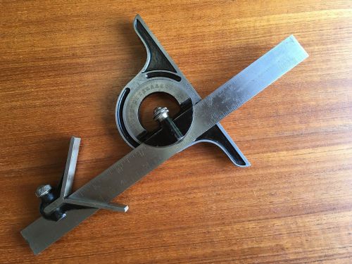
VINTAGE STARRETT No. 362 BEVEL VERNIER PROTRACTOR
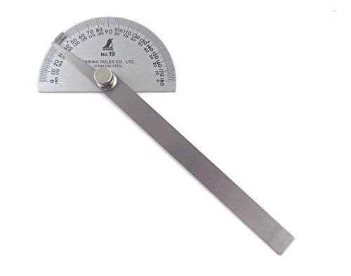
Shinwa Japanese #19 Stainless Steel Protractor 0-180 degrees with Round Head
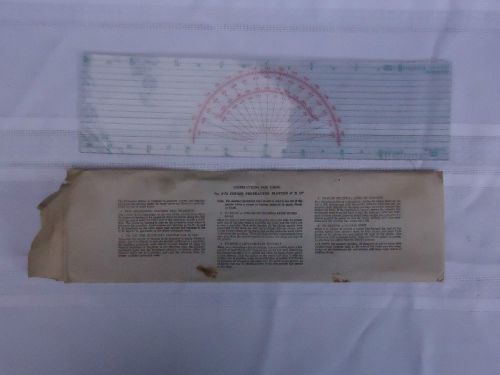
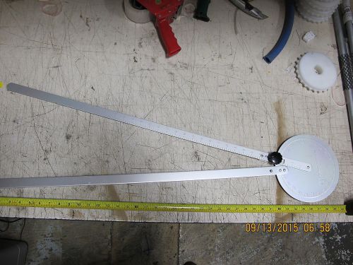
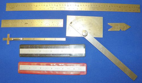
Vintage P-72 Course Protractor Plotter 4" x 15" in original envelope + small one
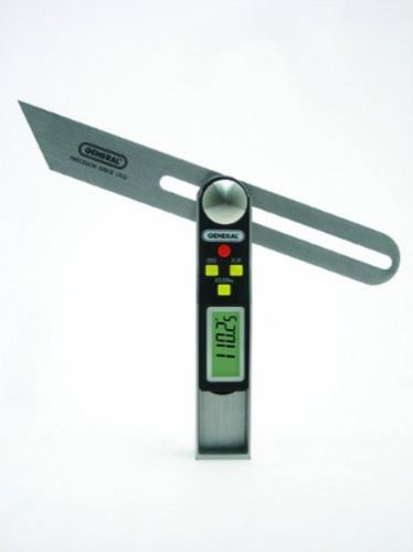
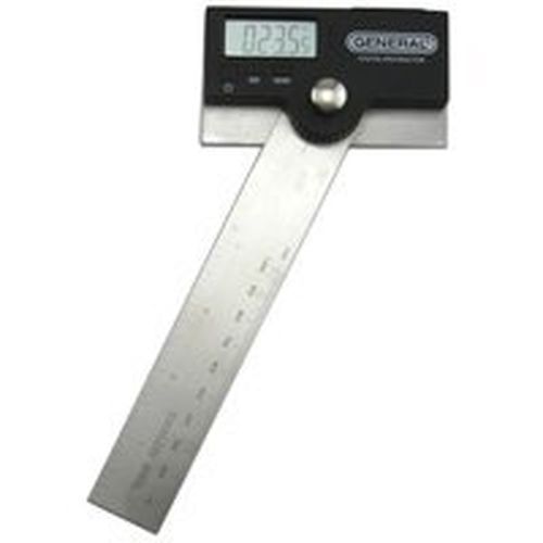
General Tools Sliding Digital T-Bevel 828 Sliding Digital T-Bevel Gauge NEW
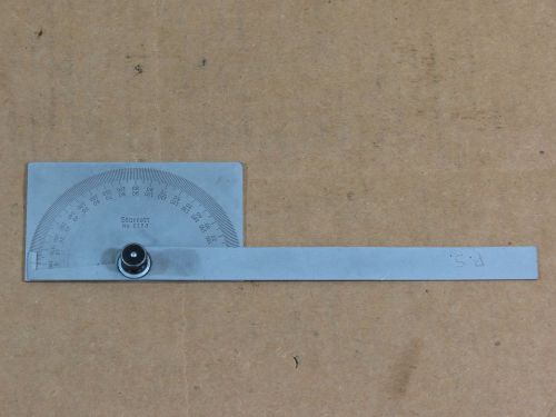
Bending Degree Indicator Protractor 40” Enerpac BP 90 Tube Pipe #

Fowler Steel Bevel Protractor with Magnifier Lens Satin Chrome 6" to 12" Blades
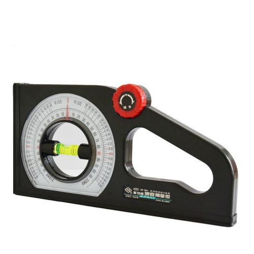
Brand New South Tool Corp JZC-B2 Angle Meter
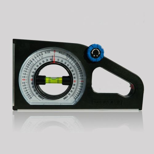
South Corp JZC-B2 Angle Meter,WITH MAGNET AND ALUMINIUM FRAME

Stainless Steel protractor Measuring Ruler David Design Reg. Made in Holland!!!
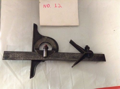
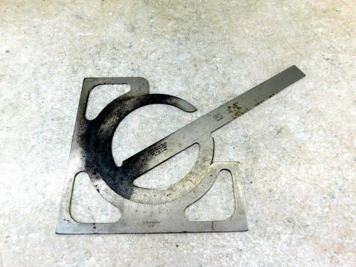
Vintage No. 12 Starrett Protractor And Machinist Center Head Rule
Lufkin Tool - Protractor No. C-891 Machinist, Woodworking Leather Craft
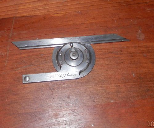
Union Tool Protractor Head Center & Finder Stanley 12221/2A Blade - Machinist
Meba Digital Magnetic Angle Gauge Cube/Protractor/Bevel Box/ Inclinometer
Starrett C183 Protractor,3-3/8" x 2" Rectangle Head,6" Arm,Square,0-180*
BROWN & SHARPE DRAFTSMAN'S MACHINIST PROTRACTOR B&S
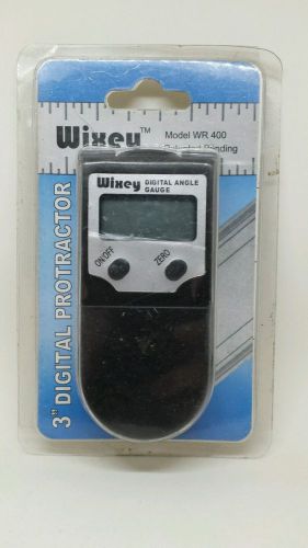
3" 75mm Wixey WR 400 Digital Angle Protractor Gage with Blade Lock
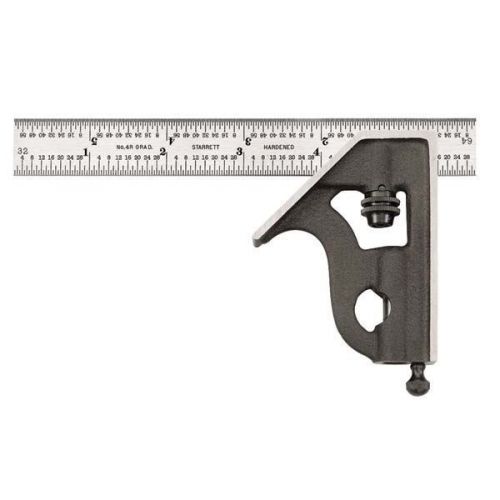
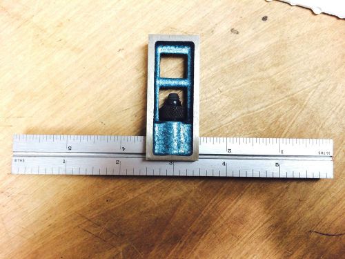
Starrett 11H-6-4R 6-Inch Combination Square with Cast Iron Head
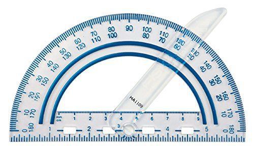
Fiskars Swing Arm Protractor Color Received May Vary Easy Read Shatter Resistant
NEW GENERAL TOOL 1702 6" DIGITAL PROTRACTOR LCD DISPLAY STAINLESS SALE NEW
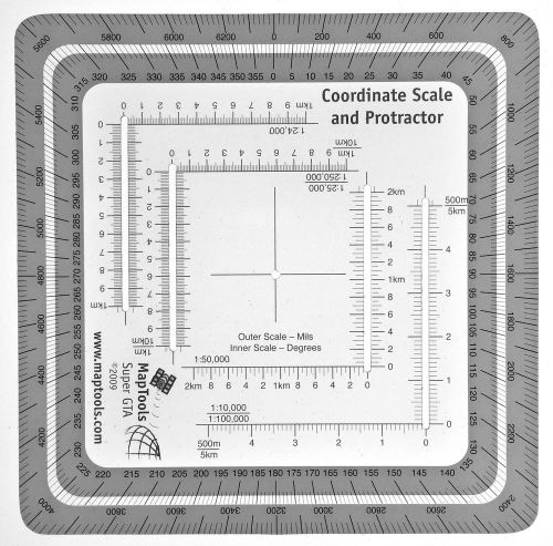
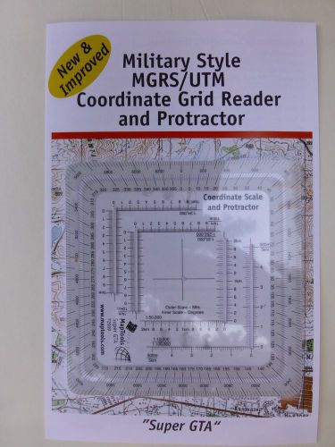
Improved Military Style MGRS/UTM Coordinate Grid Reder and Protractor
People who viewed this item also vieved

PITTSBURGH 6" DIGITAL CALIPER- METRIC & SAE FRACTIONAL READINGS

Mitutoyo Absolute Digimatic 500-171, 6" Digital Caliper
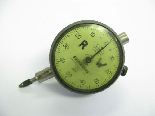
Federal Dial Indicator, 0.25" x .001"
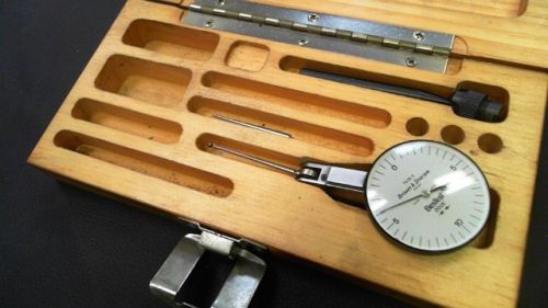
BROWN & SHARPE 7035-3 DIAL INDICATOR JEWELED SWISS MADE .0005"
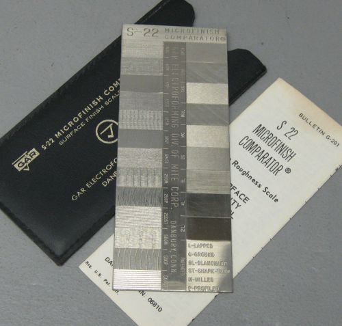
GAR S-22 - MICROFINISH COMPARATOR - Surface Finish Scale
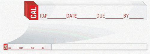
Calibration Labels - Wrap Around Style - 1/4 x 6 inches long - 120 labels

Starrett T230RL Outside Micrometer, Ratchet Stop, Lock Nut, 0-1" Range, 0.0001"

Mitutoyo 8-9" Micrometer Model 103-185A Resolution .001"
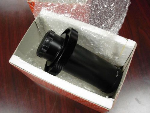
MITUTOYO 50X Condensor #172-445
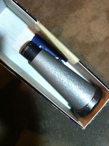
SCHERR TUMICO 20x INSPECTION OPTICAL COMPARATOR LENS 22 0313


Machinists 2/13 USA WOW 12/28 Genuine Heimann Transfer punch set
LOT (7) Machinist Measuring Brown & Sharpe Starrett Lufkin Rulers Sub Zero Inch
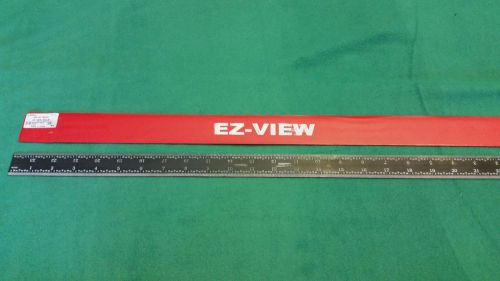
SPI 24 inch flexible steel ruler.
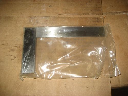
FOWLER 52-432-006 SOLID SQUARE (LS1388-1)
Double Squares Blade 6" GRADUATION 4R HARDENED STEEL #7105-406 (NN0422)

2x NOGA Magnetic Holder Bed DG0036: On/Off Magnet Base


MOJAVE 36" x 24" "A" GRANITE SURFACE PLATE w/ STAND RECENTLY CALIBRATED 05-2014
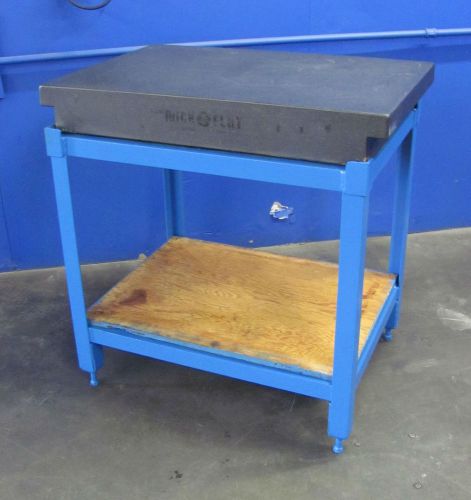
COLLINS MICROFLAT GRANITE SURFACE PLATE W STAND~24 X 36 X~5~ONTARIO, CALIF.
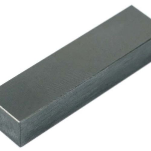
TTC Steel Grade B Individual Rectangular Gage Blocks - SIZE: .9''
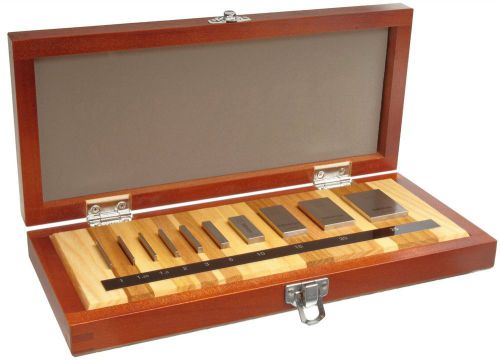
Mitutoyo 516-101-26 Steel Micrometer Inspection Gage Block Set Metric ASME Gr...
By clicking "Accept All Cookies", you agree to the storing of cookies on your device to enhance site navigation, analyze site usage, and assist in our marketing efforts.
Accept All Cookies