
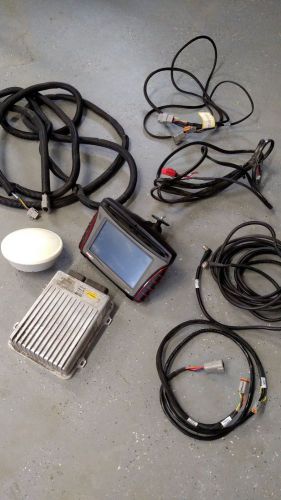
US $1,250.00
| Condition: |
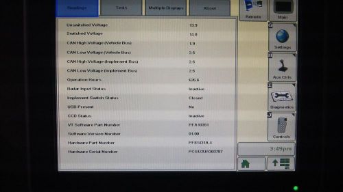
Used: An item that has been used previously. The item may have some signs of cosmetic wear, but is fully
operational and functions as intended. This item may be a floor model or store return that has been used. See the seller’s listing for full details and description of any imperfections.
...
|
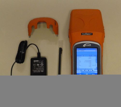
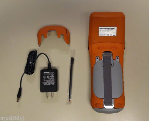
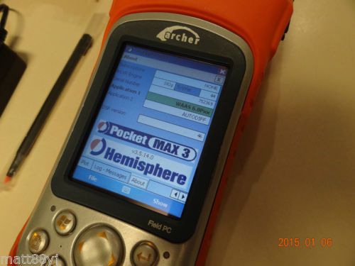
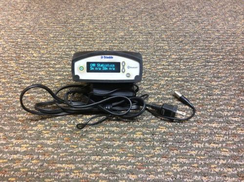
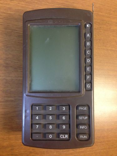
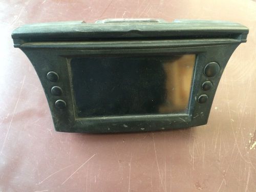
Brand | Juniper |
| Country/Region of Manufacture | United States | ||
| Model | Archer |
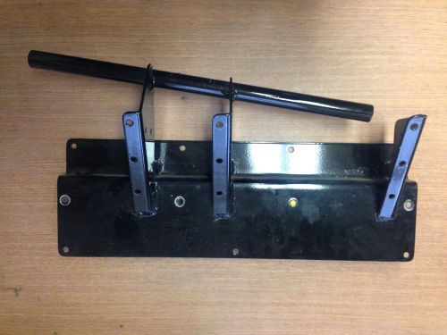
Directions
Similar products from GPS & Guidance Equipment
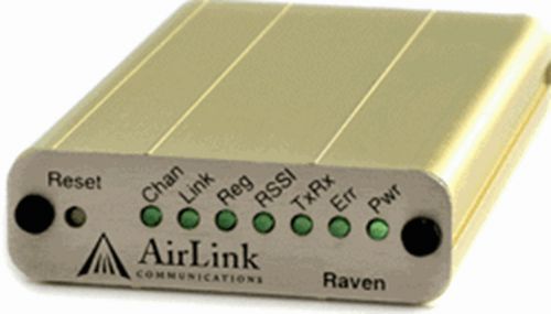
Airlink Raven EDGE E3214 GPRS GSM SMS Wireless Cellular Cell Data Radio Modem
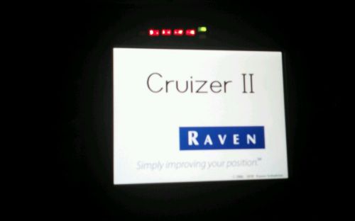
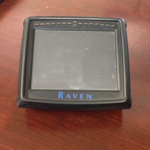
Raven Cruiser ii w/helex antenna
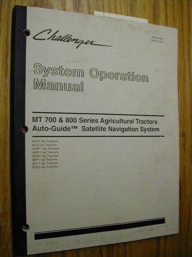
AGCO Challenger MT700/800 AUTO-GUIDE OPERATION MAINTENANCE MANUAL AG TRACTOR
Ag Leader OnTrac2 assisted steering system
trimble 750 auto steer complete with nav II and globe
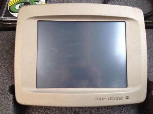
John Deere GreenStar 3 2630 display w/ SF1!!!
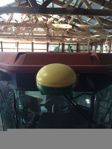
Raven Helix Antenna P/N 117-0171-141 (for Raven Cruizer)
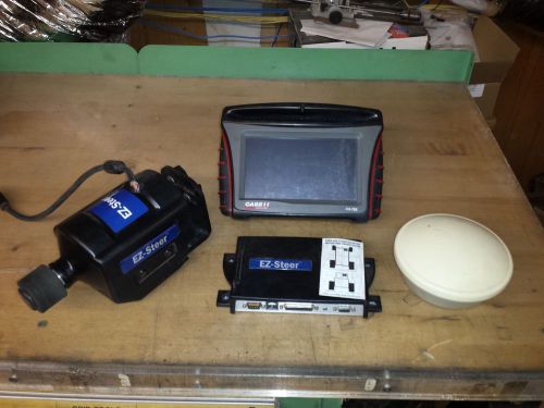
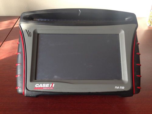
Trimble EZ-Steer CFM-750 Monitor GPS Auto Steering System
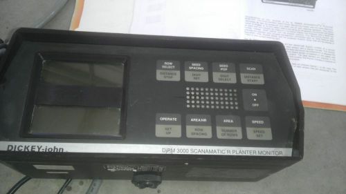
Dickey John 3000 Planter Monitor DJPM 3000
Precision Planting Wedge Box Adapter
AG LEADER JOHN DEERE 50 THRU 70 SERIES COMBINE KIT
John Deere Original Greenstar (Brown Box) and Mobile Processor
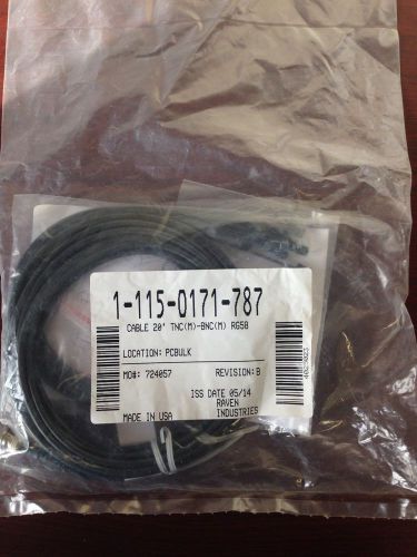
NEW Raven Cable 20' TNC - BNC 115-0171-787 (Compatible with Helix Antenna)
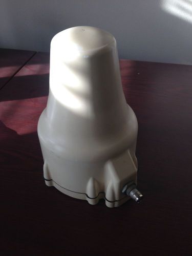
John Deere Greenstar Itc Gps Receiver
EZ Guide 500 with Omnistar (505)
Trimble CFX Case FM-750 Monitor (RTK, GLONASS, VR unlocked)
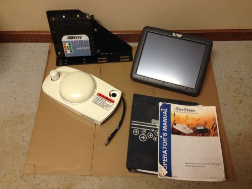
Ag Leader Integra Display with GeoSteer and Interface Kit Complete
People who viewed this item also vieved
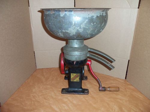
ANTIQUE BRADLEY ECONOMY KING CAST IRON WORKING CREAM SEPARATOR NO.152
John Deere Sugar Beet Digger Harvester Sip Clutch Housing w/Bushings AN141174
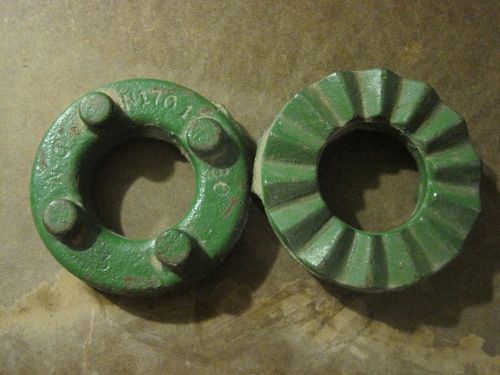
John Deere Jaw Clutch Part # N170180 Fits Manure Spreader, 500 Baler,Stack Wagon
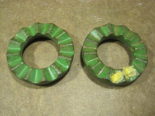
NEW John Deere Jaw Clutch Part # N108387 Fits Forage Harvester & Corn Husker
By clicking "Accept All Cookies", you agree to the storing of cookies on your device to enhance site navigation, analyze site usage, and assist in our marketing efforts.
Accept All Cookies