


US $1900
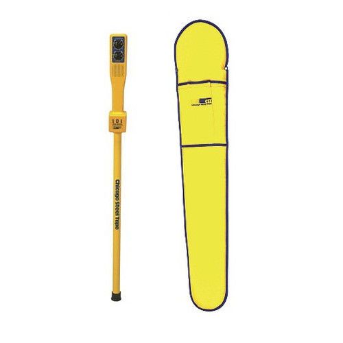
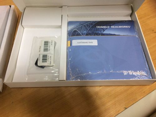
Directions
Similar products from Other Standard & Laser Levels
Topcon 3D GPS GNSS System 5 Kit, 9168 Display, 9901 Receiver, PG-A3 Antenna
SECO Topo Shoe Heavy Duty for Survey Rod
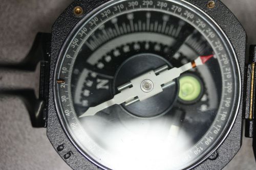
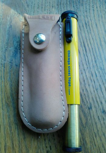
Aluminum Pocket Transit DQL8 Geological Compass Surveying and level
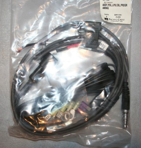
Pacific Crest Rover Programming Cable
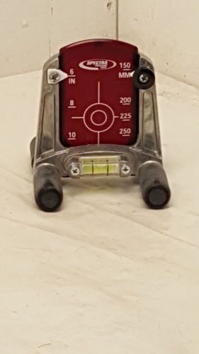
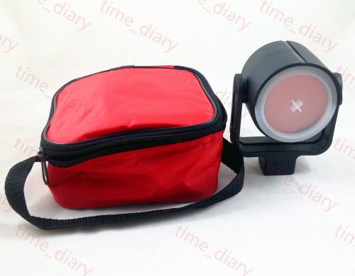
Spectra Precision Laser 956 Small Adjustable Pipe Laser Target with (1) Insert
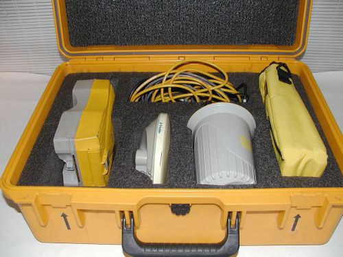
Spectra Precision SP80 Base & Rover GPS
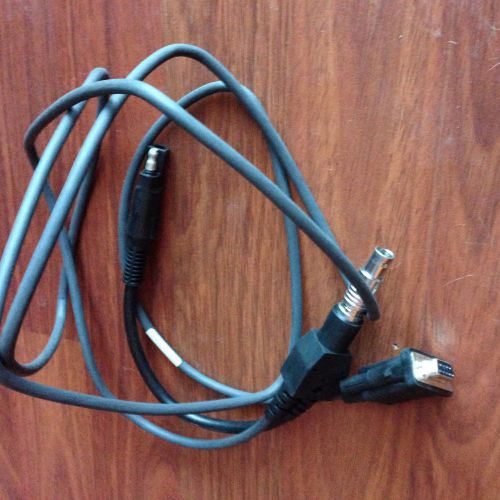
TRIMBLE HPB 450/TDL 450L PROGRAMMING CABLE P/N 56659
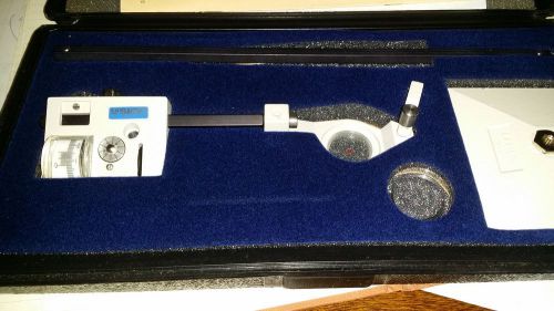
LASICO Mechanical Polar Planimeter L-10 With Hard Case & MANUAL
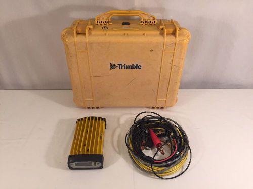
Trimble 5700 GPS Receiver Internal 450-470 Zephyr Antenna, Range Pole Antenna,
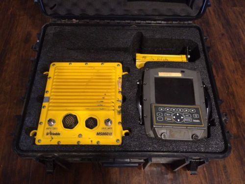
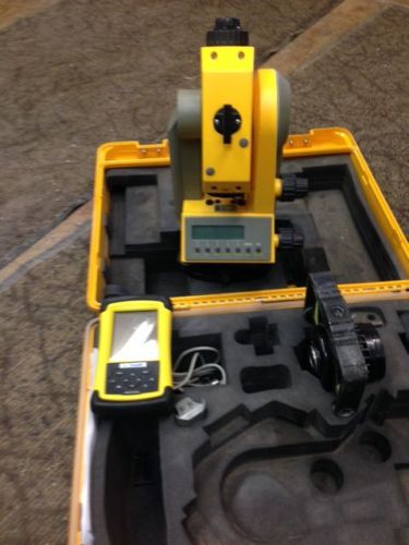
Trimble Site Vision GPS System Components Including SV170 Control Box, MS860 II
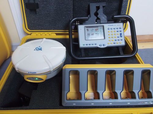
Trimble Trimmark 3 GPS GNSS Survey Radio Modem / R6 / R8 / 5800 Antennas
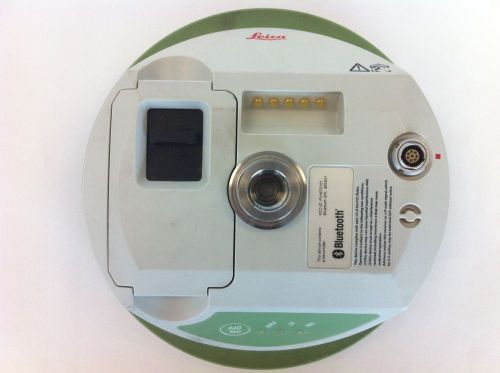
Leica ATX1230 GPS / GLONAS / GNSS Survey Antenna Receiver
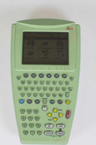
Leica RX1250X Survey Controller / Receiver / Remote Control
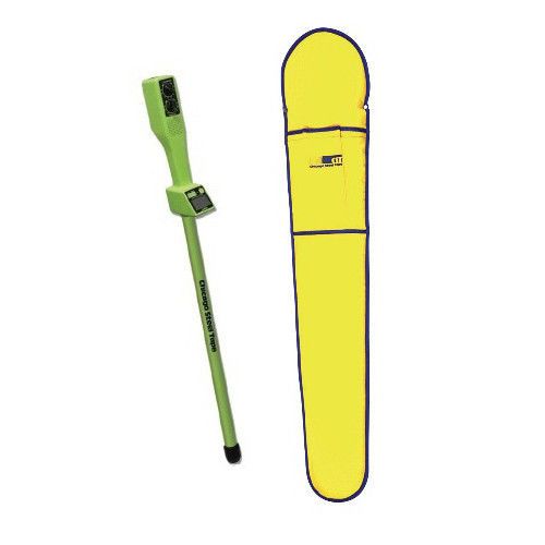
CST/berger Magna-Trak 100 Series Magnetic Locator 19-557 RECON
CST/berger Magna-Trak 100 Series Magnetic Locator 19-555 RECON
People who viewed this item also vieved
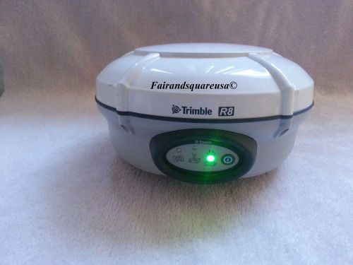
Trimble R8 Model 3 GSM Radio GNSS Glonass Galileo L1 L2 L5 GPS Receiver
Wild Heerbrugg Leica GRM 64K MEMORY MODULE
Swiss Style " copper coated GPR1 Prism + GPH1 Holder " for LEICA total stations
Spectra Physics TS305 Total Station with Data Collector and 2 batteries
Trimble GPS 5800 L1/L2 with ACU (internal radio 430 450)
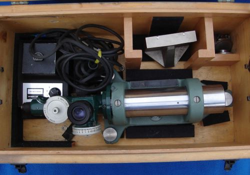
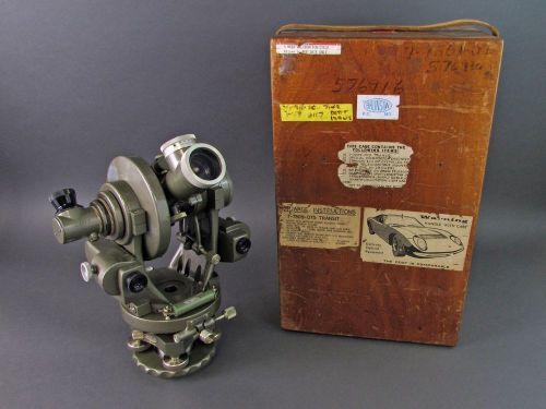
Keuffel & Esser Optical Surveyor Scope - Model 71-4320 - B & L Illuminator
Brunson Dual Application Theodolite & Transit Square/Level - Preceded the 76-RH
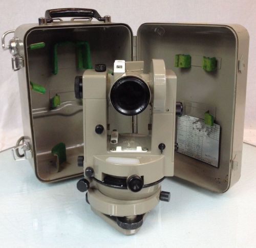
Eugene Dietzgen Co. Optical Vernier Theodolite 6170 Optical Tooling Instrument
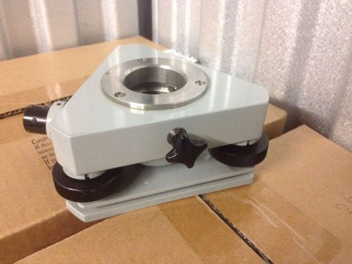
Carl Zeiss Jena Theodolite Tribrach
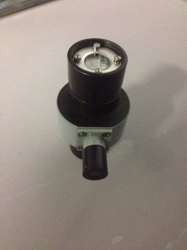
Circular Level For Cafl Zeiss Jena Theodolite Tribrach Tripod
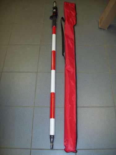
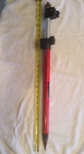
SECO LEICA STYLE 12' 3.6M PRISM POLE TOTAL STATION, SURVEYING SPRING LOCK NEW
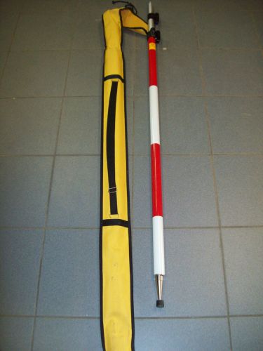
8' BERGER PRISM ROVER POLE ROD HEAVY DUTY TOPCON TRIMBLE ROBOTIC UNIVERSAL NEW
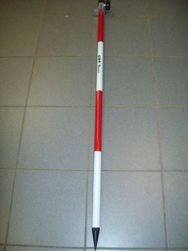
3.6M METER PRISM ROVER POLE ROD HEAVY DUTY TOPCON TRIMBLE SPECTRA UNIVERSAL
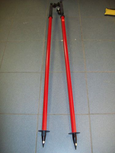
SitePro 07-4360 Bipod Thumb Release Prism Range Pole Bi-pod NEW TRIMBLE SECO
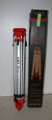
UNUSED IN BOX CST/BURGER UNIVERSAL CONTRACTORS ALUMINUM TRIPOD #60-ALQCI20
By clicking "Accept All Cookies", you agree to the storing of cookies on your device to enhance site navigation, analyze site usage, and assist in our marketing efforts.
Accept All Cookies