


US $6100
| Condition: |
New other (see details): A new, unused item with absolutely no signs of wear. The item may be missing the original packaging,
or in the original packaging but not sealed. The item may be a factory second or a new, unused item with defects. See the seller’s listing for full details and description of any imperfections.
...
|
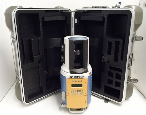
Brand | Topcon |
| Country/Region of Manufacture | Japan | ||
| Model | GLS-1500 |
Directions
Similar products from Total Station Kits

TOPCON TOTAL STATION GTS-2 SURVEYING

Leica TCRP1203 + <3"> R1000 P/S P/P

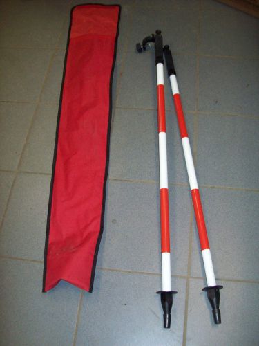
Leica Traverse Kit B – GPR121 Prism/GZR103 Carrier/GDF111-1 Tribrach/SECO Bag

Leica GPS System 500 SR530 P/N: 667122 WORLDWIDE SHIPPING

LIETZ / SOKKISHA SDM3FR/SDM3F Total Station

Trimble TSC1 Data Collector w/Survey Controller (version 7.71)

Trimble Navigator 4-port Battery Charger 20669-10

Vtg 3" Surveying Prism W/Site Pole Accuracy Attachments


Trimble GPS Multi-output Adaptor Charger data port 4 TSCE TDS PC P/N E 1504 5800

LEICA model L1 GPS surveying surveyor antenna w/ MX9400N DGPS navigator

TDS Ranger 200C Data Collector with Survey Pro & Carlson both with Robotics-GPS
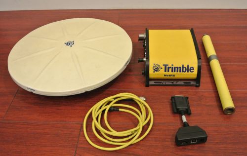
Trimble NetRS Dual Frequency GPS Receiver with Zephyr Geodetic Antenna
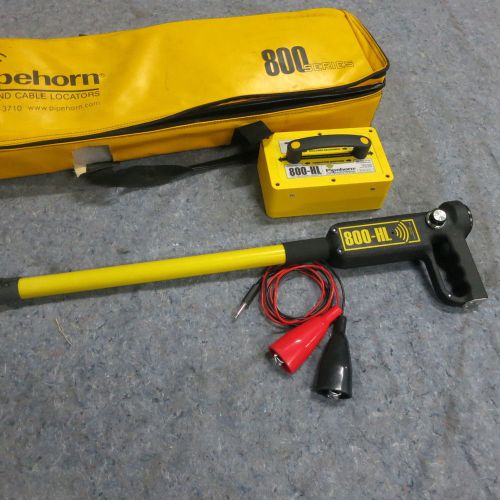
Pipehorn 800 Series Pipe / Cable Locators Single High-frequency Unit P800H MD820

LEICA TCRP 1205 R100 TOTAL STATION 2 BATTERIES CASE CHARGER PRISMLESS 5'ACCURACY

LEICA Prism Mini Size /Four Poles +Carring Bag

Leica Robotic Reflectorless Total Station TRCA1105 Plus With Power Search
People who viewed this item also vieved

D&W David White DW-8300 Level Transit Survey Instrument w/ Metal Case

BOSTROM NO. 2 FARM TRANSIT LEVEL SURVEYING WITH BOX TRIPOD

VINTAGE OLD Sears Roebuck TRANSIT-LEVEL-WITH-DOVETAIL Box Case 789.46170

Berger Instruments Model 200 B | Level Transit Package w/ Tripod

Theodolite Kern DKM3 Aarau Switzerland Surveyor Autocollimation Heerbrugg

Ashtech Z Max Coiled Cable 730178 Magellan

Ashtech Z Max Coiled Cable 730178 NIB Trimble Leica Sokkia

Leica ScanStation C10- Demo- 2014 model

cst berger adjustable rod level bubble style 06-750

TOPCON DATA COLLECTOR FC-1 INSTRUCTION MANUAL SURVEYOR
Survey Surveying Prism Pole w/ Level and Compass 4" (G3)
2.5m 8' GPS Adjustable METRIC CARBON FIBER PRISM POLE GPS ROVER ROD SOKKIA SECO
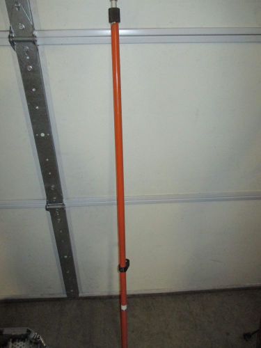
Bipod Thumb Release Prism Range Pole Bi-pod NEW TRIMBLE SECO WITH CASE
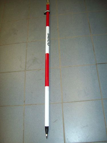
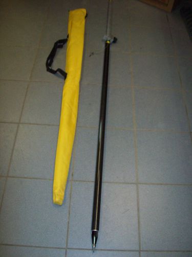
SECO 8.5' 5600-10 Compression-Lock Telescoping Aluminum Prism Pole NEW
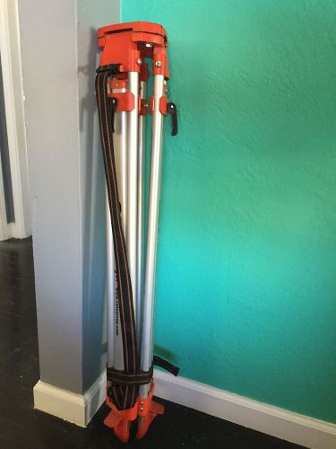
MINT CST/berger Contractor's Aluminum Flat Head Tripod 60-ALQCI20 (O-22)
By clicking "Accept All Cookies", you agree to the storing of cookies on your device to enhance site navigation, analyze site usage, and assist in our marketing efforts.
Accept All Cookies