


GBP 4,800.00
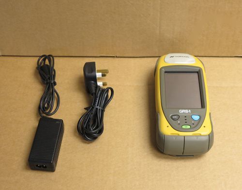
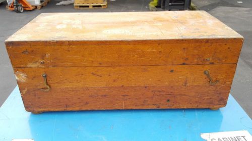
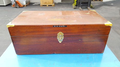
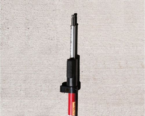
| Condition | Used
:
An item that has been used previously. The item may have some signs of cosmetic wear, but is fully operational and functions as intended. This item may be a floor model or store return that has been used. See the seller’s listing for full details and description of any imperfections.
|
| Seller Notes | “In good condition and full working order.” |
Directions
Similar products from Other Standard & Laser Levels
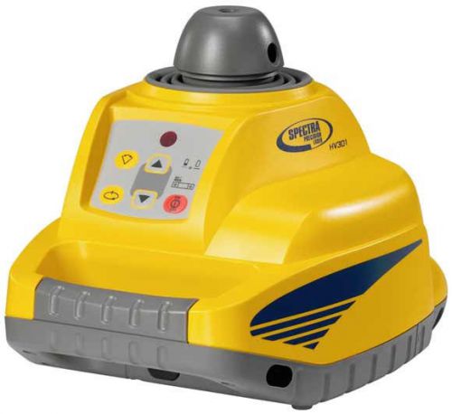
NEW SPECTRA PRECISION HV301 SELF LEVELING LASER KIT FOR SURVEYING & CONSTRUCTION
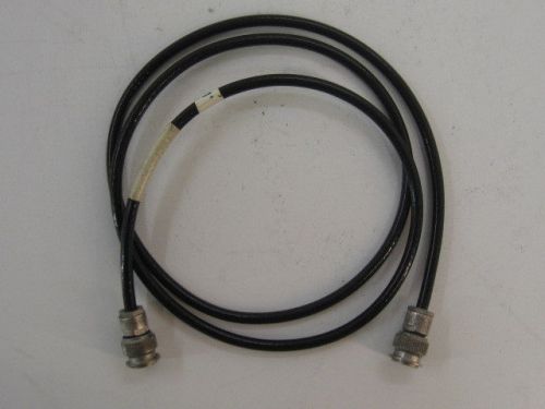
LEICA GEV141 1.2M GPS ANTENNA CABLE FOR SURVEYING AND CONSTRUCTION
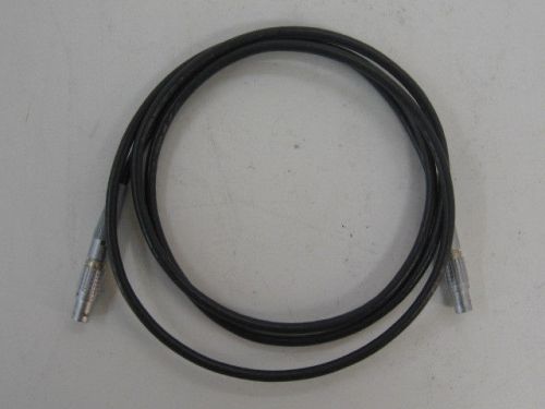
LEICA GEV97 1.8M GPS POWER/BATTERY CABLE FOR SURVEYING AND CONSTRUCTION
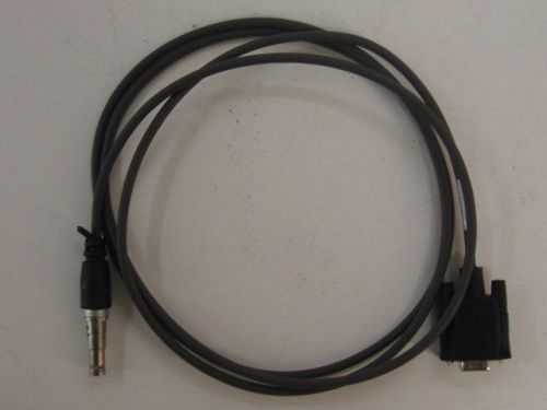
LEICA A00470 DATA/GPS RADIO CABLE FOR SURVEYING AND CONSTRUCTION
Crain Telescopic 45' Measuring Stick Free Shipping
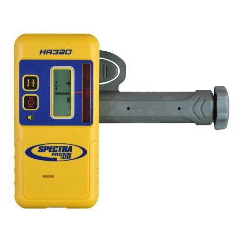
NEW SPECTRA PRECISION/TRIMBLE HR320 LASER RECEIVER FOR SURVEYING & CONSTRUCTION
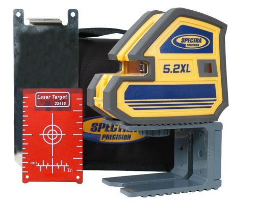
NEW SPECTRA PRECISION/TRIMBLE 5.2XL POINT AND CROSSLINE LASER FOR SURVEYING
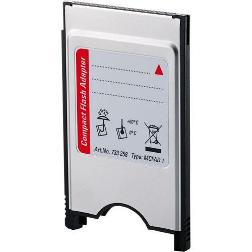
NEW LEICA MCFAD1 COMPACT FLASH PC CARD ADAPTER FOR SURVEYING AND CONSTRUCTION

LEICA ROADRUNNER RAIL ACTIVATION CODE FOR ROADRUNNER SOFTWARE FOR SURVEYING
LEICA TS06R500 PLUS 5" REFLECTORLESS TOTAL STATION FOR SURVEYING 1 YEAR WARRANTY
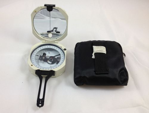
NEW DQY-3 Geology Compass . Pocket transit . metal Compass
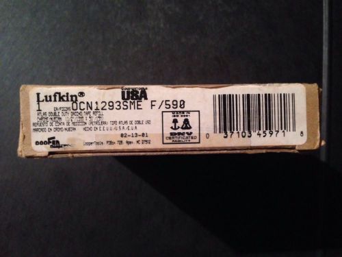
Lufkin Atlas Double Duty Gaging Tape Refill, 1/2"x50', Feet And Meters F/590
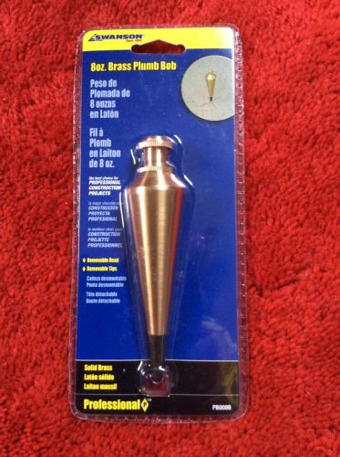
Swanson 8oz Brass Plumb Bob PB008B NEW in package
NEW GPS Antenna pole 5/8 x 11 thread both ends FOR Trimble LEICA TOPCON SOKKIA
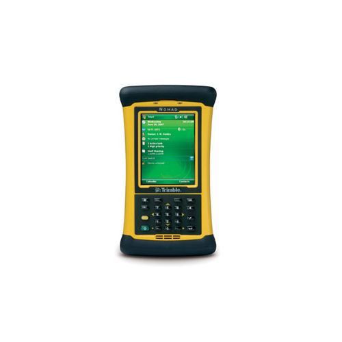
NEW TDS TRIMBLE NOMAD 900L DATA COLLECTOR FOR SURVEYING AND CONSTRUCTION
NEW TDS TRIMBLE AC WALL CHARGER FOR RANGER 300X/500X FOR SURVEYING/CONSTRUCTION
NEW SCHONSTEDT 82KHZ INDUCTIVE ANTENNA PC20010 FOR SURVEYING AND CONSTRUCTION
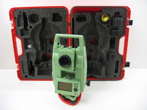
LEICA TCR405 5" TOTAL STATION FOR SURVEYING AND CONSTRUCTION
TOPCON GTS-235W 5" WIRELESS TOTAL STATION FOR SURVEYING & CONSTRUCTION
People who viewed this item also vieved
K&E Keuffel Esser Brunson JIG TRANSIT Travel Case Theodolites Survey 575719
K&E Keuffel Esser Brunson JIG TRANSIT Travel Case Theodolites Survey 130338
1 K&E Keuffel Esser Brunson JIG TRANSIT Travel Case Theodolites Survey 575426
K&E Keuffel Esser Brunson JIG TRANSIT Travel Case Theodolites Survey mdl 575761
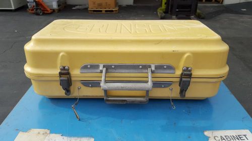
K&E Keuffel Esser Brunson JIG TRANSIT Travel Case Theodolites Survey 575422
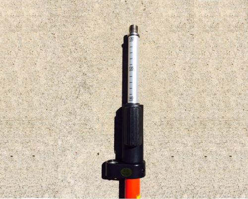
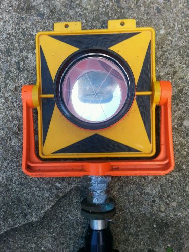
2.15m Quick Release Clamp Prism Pole w/ Circular Bubble & a Hard Case
Leica 2.15m Quick Release Clamp Prism Pole w/ Circular Bubble & a Hard Case
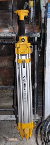
STABILA BST-K-L SITE TRIPOD & LIFT 2.2m (7'2") for Laser Level Used
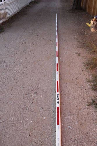
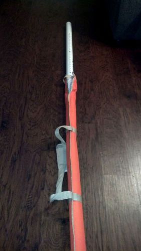
Crain Mound City Surveyors Rectangular-Oval 25ft. Leveling Rod 903005
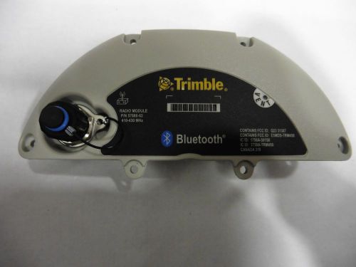
Trimble Service Part, Assy R8GNSS/SPS880 Door 410-430 MHz, 57880-62S
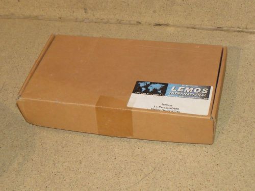
SENA Parani-SD100 - SENA Bluetooth Serial Adapter, Wireless -NEW
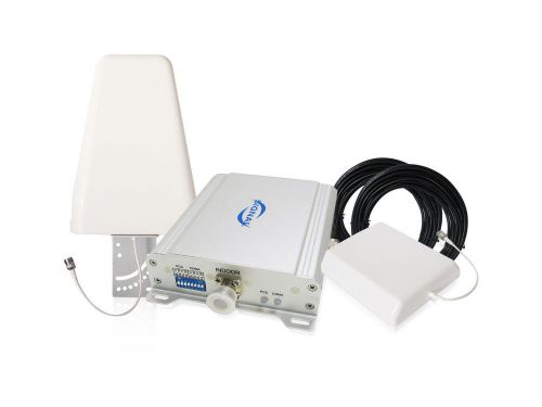
Dual Band CDMA GSM 850/1900MHz Cell Phone Signal Booster Amplifier Repeater Kit
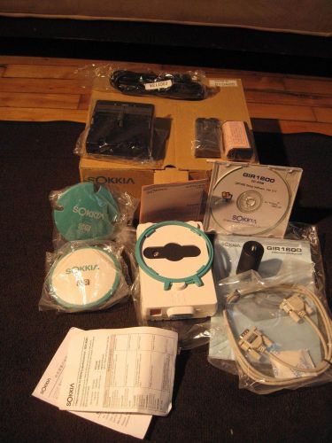
Sokkia GPS Receiver Model GIR1600 Differential GPS Receiver D1290B NEW
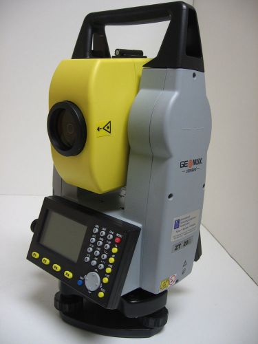
GEOMAX ZT20R 5" REFLECTORLESS TOTAL STATION, 1YR WARRANTY
By clicking "Accept All Cookies", you agree to the storing of cookies on your device to enhance site navigation, analyze site usage, and assist in our marketing efforts.
Accept All Cookies