


AU $5,000.00
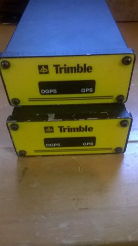
| Condition: | Used | Manufacturer | Trimble |
Directions
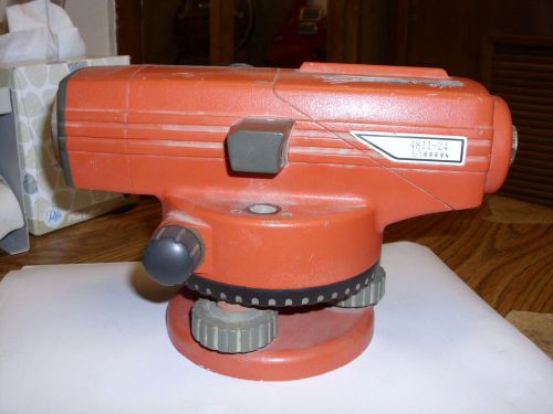
Similar products from Other Standard & Laser Levels
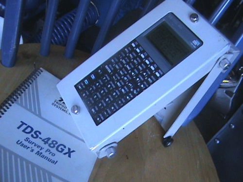
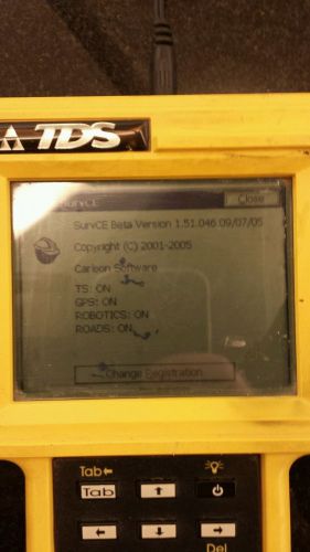
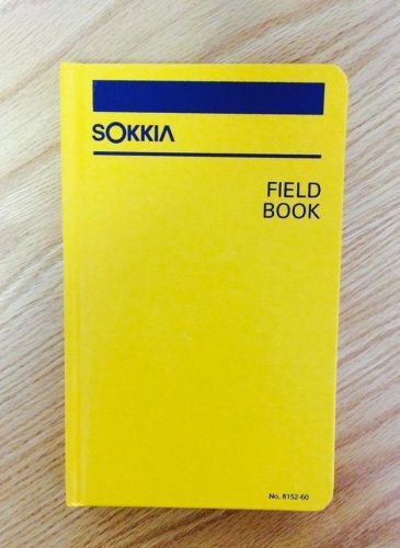
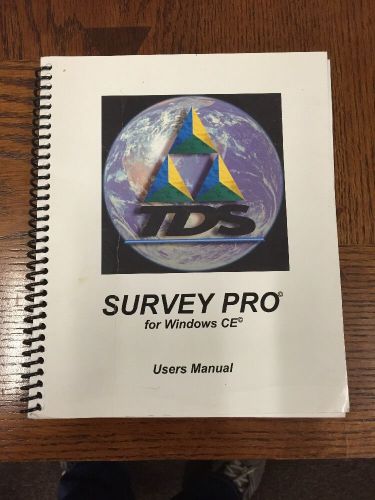
HP48GX with the BEST Case ever Made Loaded with TDS Survey Pro and 1MB cards!!!
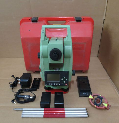
Leica TC307 7" Total Station Survey Reflector Surveying Tool Prism ART 724016

Siemens Pointek Capacitance Point Level Detection Sensor CLS200
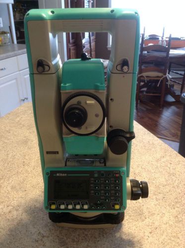
Nikon NPL 522 surveying instrument PERFECT CONDITION
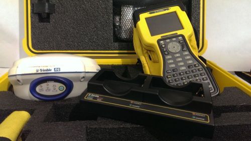
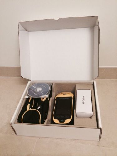
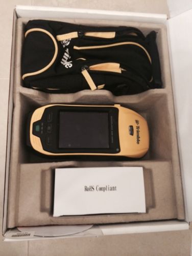
Trimble R6 GNSS with TSC2 with Survey Controller, VRS, GPS Survey Rover Kit,
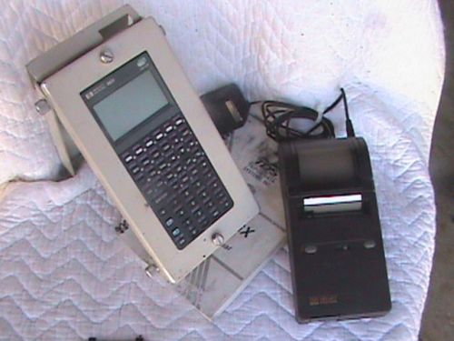
HP48GX Black Screen with the BEST Case ever Made Loaded with TDS Survey cards!!!
TDS Ranger Data Collector, broken screen AS IS.
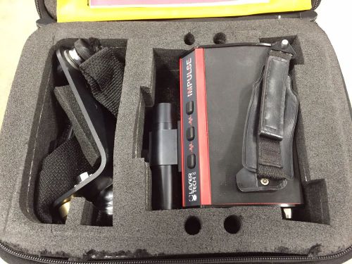
LASER Technology IMPULSE 100 Rangefinder
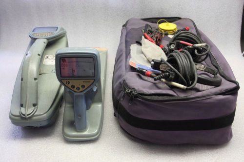
Radiodetection RD4000 RD4000RX RD4000T10 Cable Pipe Locator + Acc & Case
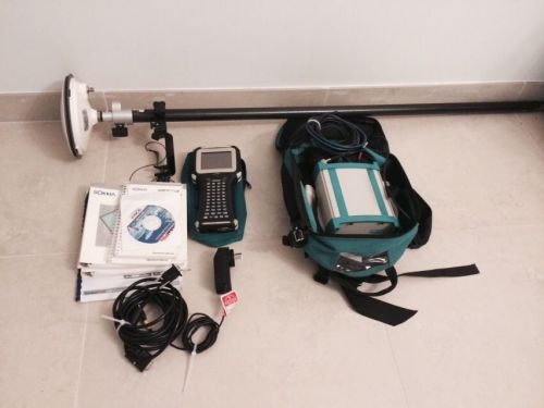
SOKKIA GSR2650 LB Plus Accessories
Vintage ESSCO Surveying Mirror Reflector with Pentax Handle
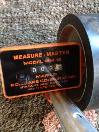
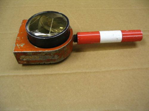
Rolatape Mm12 Measure-Master Single Wheel Measuring Tape 38" Length

Placom KP-82N Digital Planimeter
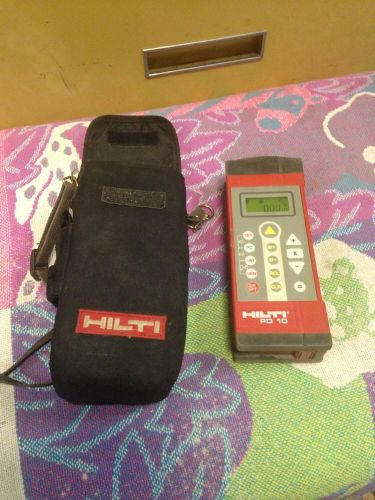
Hilti PD10 Laser distance measuring instrument
People who viewed this item also vieved
Wild Heerbrugg Theomat T1000 1000 Theodolite Surveyor & GDF22 Base w/ Case
Vintage Keuffel & Esser Co KE-6e Transit with Case, Made in Western Germany

SURVEY EQUIPMENT Leitz Model 20 transit with CARRYING CASE
DAVID WHITE MODEL 803 SURVEY TRANSIT LEVEL SCOPE WITH TRIPOD & CASE 1950s
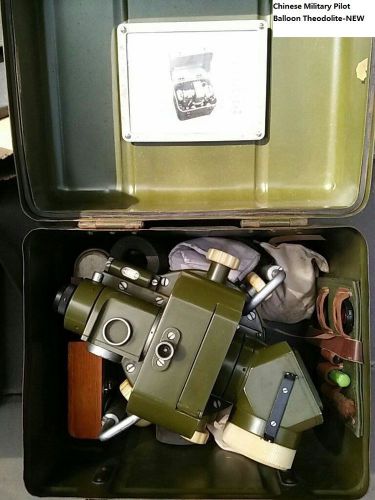
Chinese Military Type 70-I Pilot Balloon Metoerological Theodolite - New
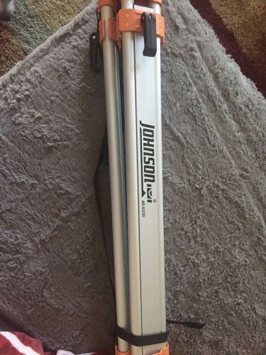
Johnson Level & Tool Contractor Aluminum Tripod #40-6335
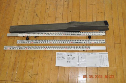
Leica GKNL4F Barcode Level Rod NO RESERVE
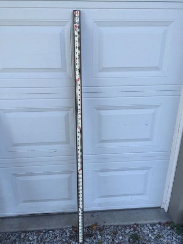
NEW DAVID WHITE 3 SECTION 7614 WOOD 14ft SURVEYORS ROD CONSTRUCTION ROD NEW NR!
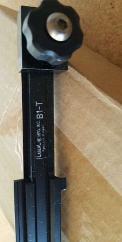
Laserline B1-T Bracket Trimble
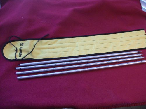
Trimble 8ft GPS Surveying pole w/steel Toe soft case Seco Topcon Leica Sokkia
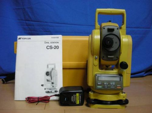
TOPCON TOTAL STATION CS-20A Calibrated

Allegro CX Data Collector Field Surveying Construction w/ Charger
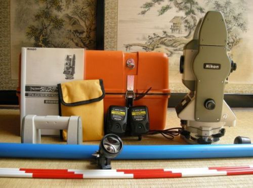
NIKON TOTAL STATION DTM-A5 Calibrated
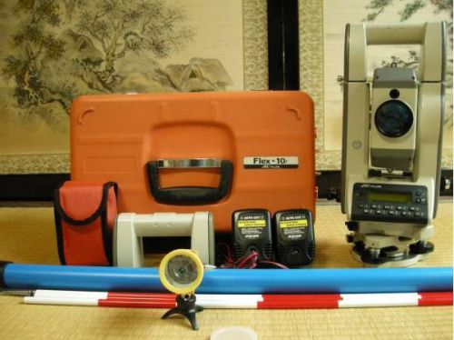
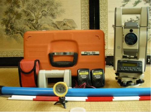
NIKON JEK TOTAL STATION Flex10rs Calibrated
NIKON JEK TOTAL STATION Flex10r
By clicking "Accept All Cookies", you agree to the storing of cookies on your device to enhance site navigation, analyze site usage, and assist in our marketing efforts.
Accept All Cookies