
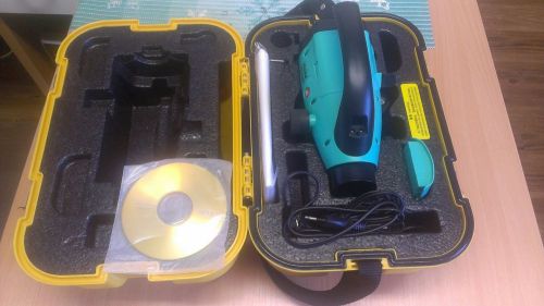
US $1,250.00
| Condition: |
New: A brand-new, unused, unopened, undamaged item in its original packaging (where packaging is
applicable). Packaging should be the same as what is found in a retail store, unless the item is handmade or was packaged by the manufacturer in non-retail packaging, such as an unprinted box or plastic bag. See the seller's listing for full details.
...
|
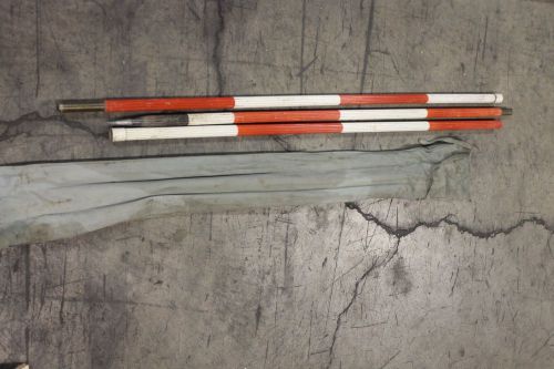
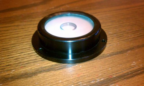
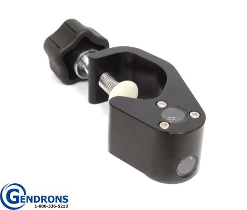
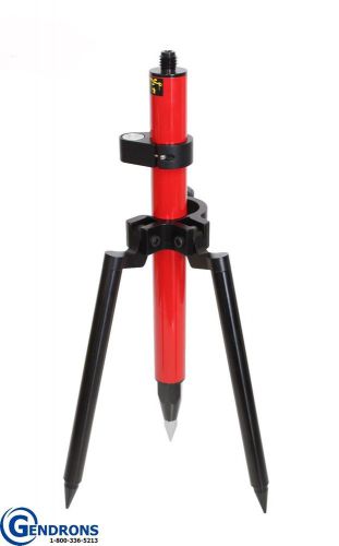
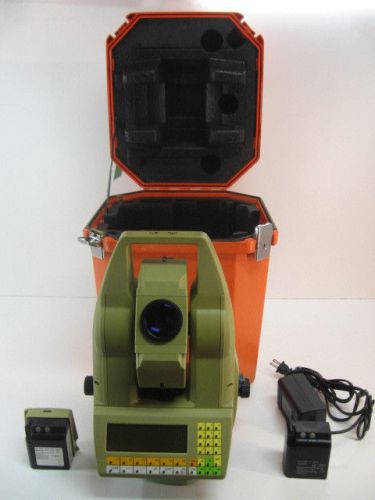
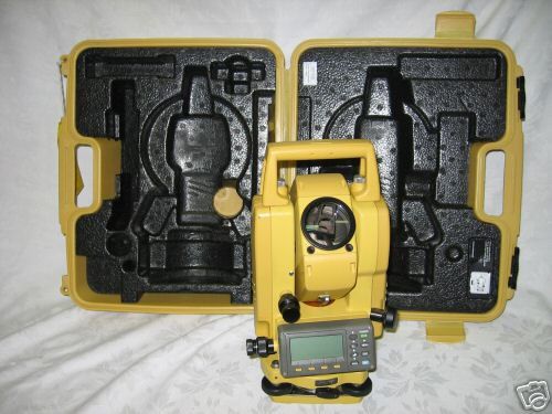
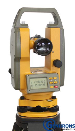
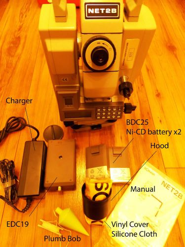
Brand | Carlson |
| Country/Region of Manufacture | United States |
Directions
Similar products from Other Standard & Laser Levels
K&E Invincible SURVEY STAKE ROD
Circular Bubble Level Machined Aluminum From RIEKER Lot of 4 BRAND NEW!!
HEADS UP PRISM POLE LEVELING BUBBLE,TOPCON,TRIMBLE,TOTAL STATION,SECO,GPS ROVER
SURVEYING STAKEOUT PRISM POLE & BIPOD,TOPCON,TRIMBLE,TOTAL STATION,SECO,ROBOT
Digital auto level RUIDE DL2007
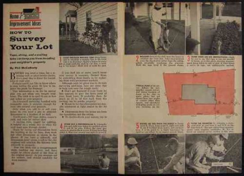
How To SURVEY Basic DIY Lot Surveying INFO
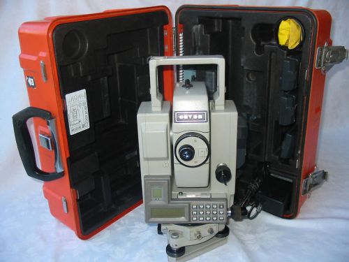
SOKKIA SET3BII 3" TOTAL STATION FOR SURVEYING AND CONSTRUCTION
Leica Builder 306 6” Reflectorless Total Station
LEICA TC1800 1" TOTAL STATION FOR SURVEYING AND CONSTRUCTION
TOPCON AG-20B CLOSED TRANSIT 20" FOR SURVEYING AND CONSTRUCTION
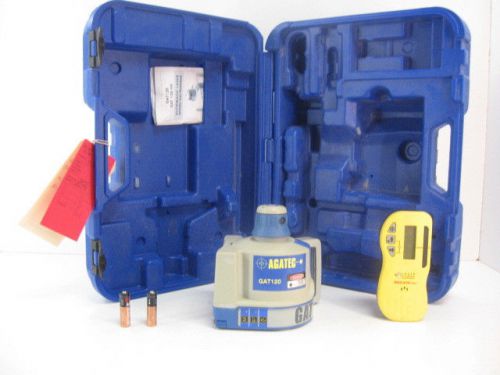
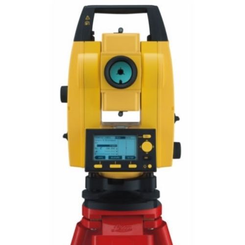
AGATEC GAT120 AUTOMATIC LASER PLUS LEICA ROD EYE FOR SURVEYING AND CONSTRUCTION
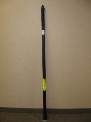
GRABBIT GR-18 18 FT TELESCOPING POLE FOR SURVEYING AND CONSTRUCTION
TOPCON GPT-3005W 5" WIRELESS TOTAL STATION FOR SURVEYING & CONSTRUCTION
PENTAX SB10 DIAGONAL EYEPIECE FOR PENTAX TOTAL STATIONS FOR SURVEYING
Instrument Service - Full Cleaning, Calibration - Trimble S6 5603 Total Stations
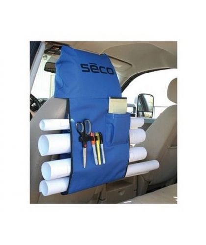
New Seco Car Plan Holder 8046-10-BLU
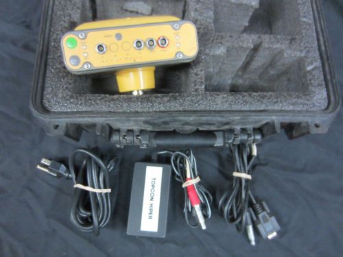
Topcon Hiper GGD GPS Receiver with Internal 430-450MHz Radio
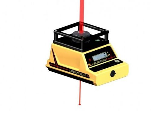
LaserLine Quad 1000 Zenith Plumb Laser
People who viewed this item also vieved
NORTHWEST NETH503 DIGITAL THEODOLITE TRANSIT, TOPCON, SOKKIA, SPECTRA, SURVEYORS
Used Wild Heerbrugg T-16 Theodolite W/ Bullet & Plastic Transport Case Military
WILD HEERBRUGG T-16 Theodolite with Case
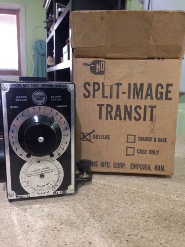
HOPKINS - VTG Hoppy Transit Split Image Transit Model G2 Photography Survey. GUC
Sokkia Net2D 3D Survey Instrument
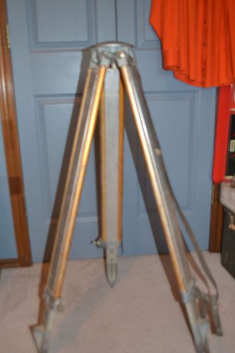
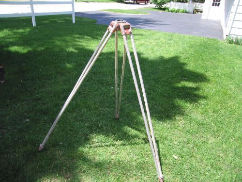
Sokkisha Aluminum Tripod 40" Expandable Great Lamp Tripod
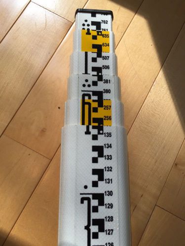
NEW CRAIN Mound City 7.6 Meter 98012 SVR-7.6m Philly Metric Survey Leveling Rod
NEW CRAIN Mound City 5 Meter #903088 SVR-5.0m Philly Metric Survey Leveling Rod
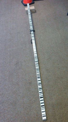
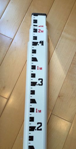
Trimble/Zeiss 3 Meter Folding Barcode Leveling Rod
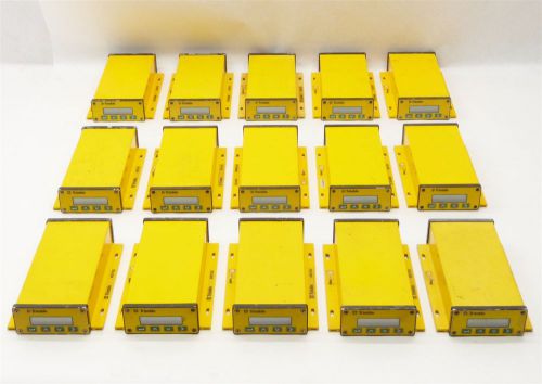
LOT 15 TRIMBLE MS750 MS-750 SITEVISION AG GPS BASE STATION RECEIVER PARTS
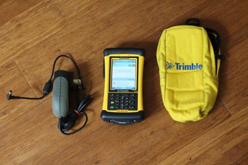
Trimble Nomad 806MHz 6GB Data Collector w/ SurvCE ArcPad 10 FieldGenius Robotics
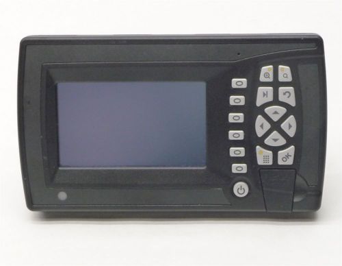
TRIMBLE CB450 CONTROL BOX for GCS900 GRADE CONTROL SYSTEM CONSTRUCTION PARTS
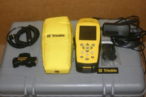
Trimble GeoExplorer 3 GPS Pathfinder receiver GIS Data Collector Geo Explorer
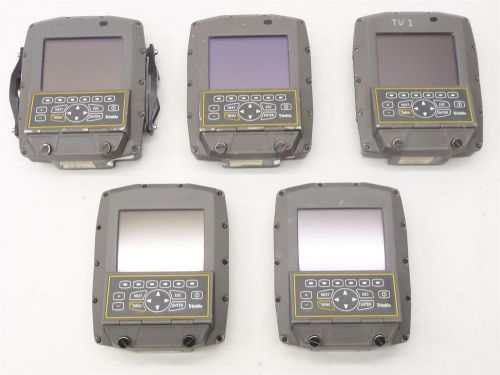
LOT 5 TRIMBLE SV170 CONSTRUCTION IN-CAB COLOR 5.5" DISPLAY CONTROL BOX PARTS
By clicking "Accept All Cookies", you agree to the storing of cookies on your device to enhance site navigation, analyze site usage, and assist in our marketing efforts.
Accept All Cookies