
US $1,000.00
| Condition: |
Used: An item that has been used previously. The item may have some signs of cosmetic wear, but is fully
operational and functions as intended. This item may be a floor model or store return that has been used. See the seller’s listing for full details and description of any imperfections.
...
|
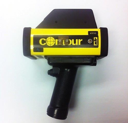
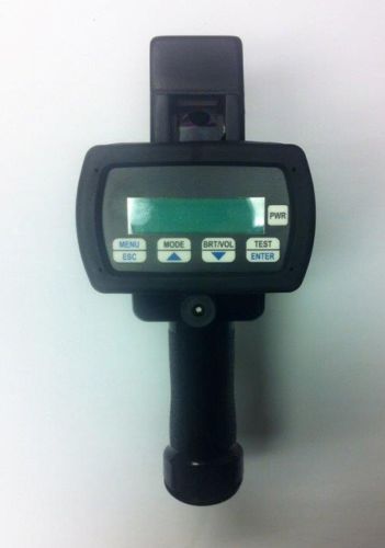
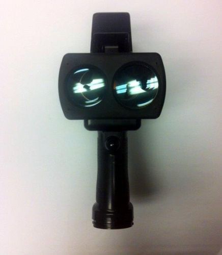
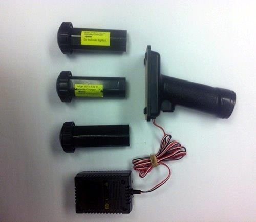
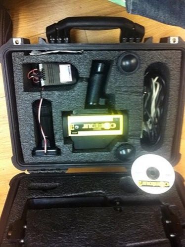
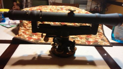
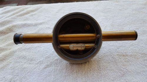
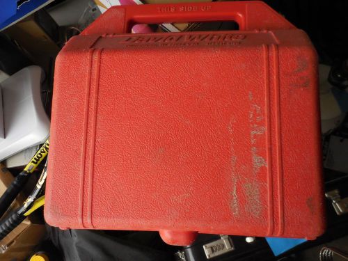
Model | CS10002BT |
| Brand | LaserCraft |
Directions
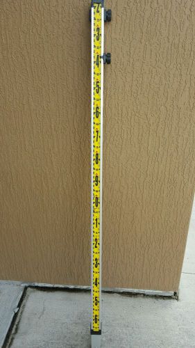
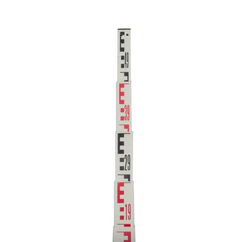
Similar products from Other Standard & Laser Levels
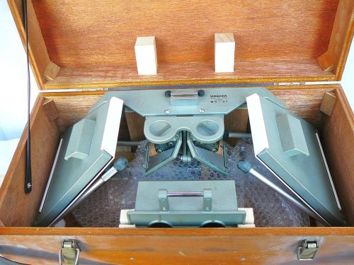
SOKKISHA MS-27 MS27 Mirror Stereoscope Made in Japan Wood Case 2 Sets Eyepieces
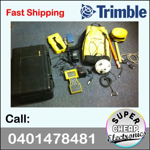
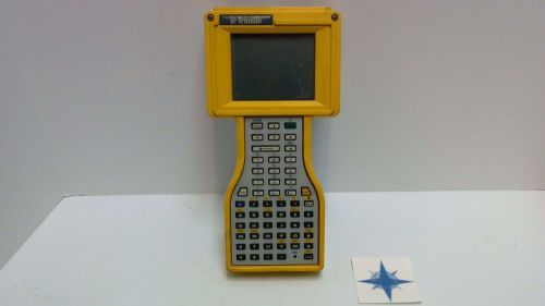
TRIMBLE TSCE Touch Screen Controller One Man Surveying GPS Tool P/N 45268-50
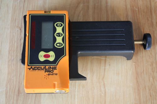
JOHNSON AccuLine Pro 40-6710 Two-Sided Laser Detector with Clamp
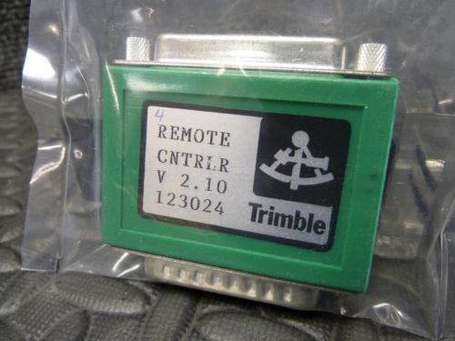
TRIMBLE SURVEY REMOTE CONTROLLER INTERFACE VERSION 2.10 P/N 123024 SHIPS FREE
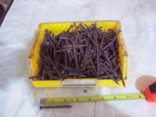
Fluted Masonry Nails 2 1/2"x1/4" New, unused, large lot
NEW Circular Vial Aluminum Die Cast Rod Level Bubble F/ POLE
5PCS Rod Bubble Level for Aluminum Builders Grade Rod LEVEL SURVEYING
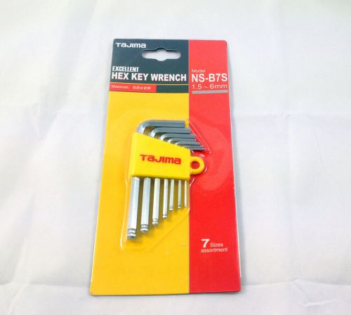
NEW Tajima Excellent 7 Sizes assortment Hex Allen Key Set Allen Wrench 1.5--6mm
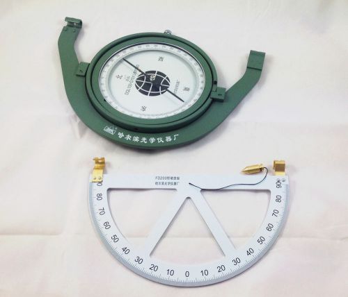
NEW SUSPENSION MINING DIAL / MINERS COMPASS (DQL100-G1)SURVEYING COMPASS
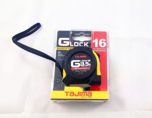
NEW Stainless steel Tape Measure with Shock Absorber GOA TU MAG 3.5m (Tajima)
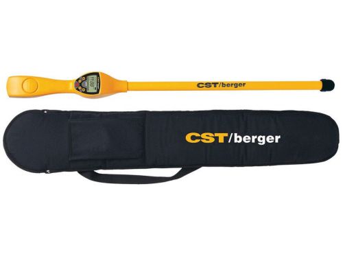
CST/berger Magna-Trak 200 Magnetic Locator w/ Soft Case from Authorized Dealer
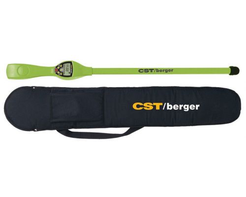
CST/berger Magna-Trak MT202 Magnetic Locator w/ Soft Case by Autherized Dealer
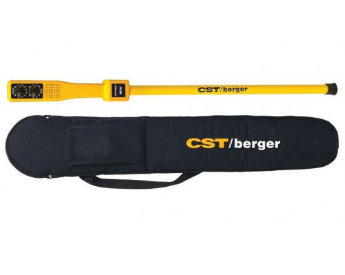
CST/berger Magna-Trak 101 Magnetic Locator with Soft Case by Authorized Dealer
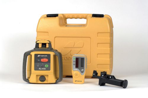
New Topcon RL-H4C DB Rotating Level Package with Ebay Global Shipping
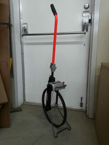
Rolatape 32-401T 15 1/4 inches measuring wheel feet and 10 ths
Seco mini prism, pole and bag kit
CST mini prism Leica with mini Rog and pouch
Pole adapter, 2x 5/8 x 11 female, 4cm with >< to snap others adapters
Pole adapter, 2x 5/8 x 11 male, Total length about: 4cm
Sokkia T Style Reflective Target Sheets RS10T - 10x10mm 400 Targets 634511
People who viewed this item also vieved
Keuffel & Esser Paragon Jig Transit Level Scope with Wood Case
USED DAVID WHITE REALIST 8300 UNIVERSAL SURVEYING TRANSIT LEVEL W/CARRY CASE NR
DAVID WHITE LT6-900 MERIDIAN LEVEL-TRANSIT in original box nice !!!!
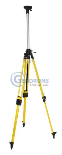
FIBERGLASS ELEVATOR TRIPOD,FOR LASER LEVEL,TOPCON,SPECTRA,HILTI,DEWALT,SECO
New LaserLine Direct Reading Optical Rod Meter 3 meter GR10M Optical Version

AdirPro Telescopic 4 E Meter Fiberglass Grade Leveling Rod Rectangular Metric
AdirPro Telescopic 4.9 E Meter Fiberglass Grade Leveling Rod Rectangular Metric
AdirPro Telescopic 7.6 E Meter Fiberglass Grade Leveling Rod Rectangular Metric
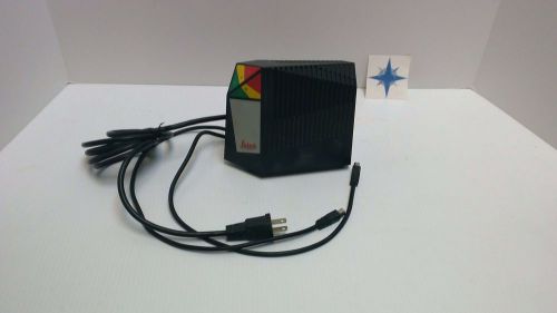
Leica GKL23-1 Dual Plate Battery Charger
Leica GEB171 External NIMH Battery (7850 Ah)
Trimble, Model TSCe with Survey Controller 10.80
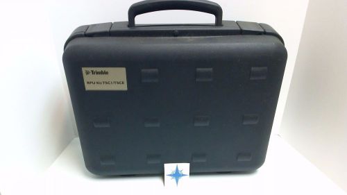
Trimble RPU Kit TSCI/TSCE Case Only
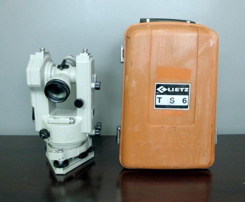
Lietz Sokkisha TS6 Theodolite Level w/ Field Case topcon wild heerbrugg
By clicking "Accept All Cookies", you agree to the storing of cookies on your device to enhance site navigation, analyze site usage, and assist in our marketing efforts.
Accept All Cookies