


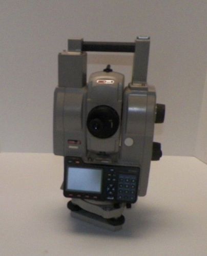
US $7,500.00
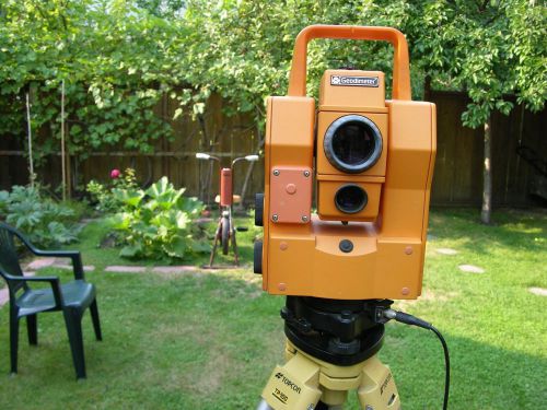
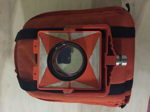
| Condition | Used
:
An item that has been used previously. The item may have some signs of cosmetic wear, but is fully operational and functions as intended. This item may be a floor model or store return that has been used. See the seller’s listing for full details and description of any imperfections.
|
| Seller Notes | “Demo Unit” |
Directions
Similar products from Total Station Kits
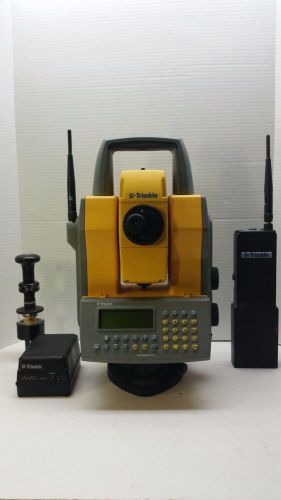
Total Station Trimble GDM 620 Autotracking Sweden USA Surveyor
Level Leica N3 Wild Heerbrugg 1/2 IN Surveyor High Accuracy
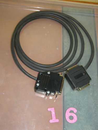
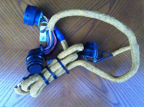
#16 Trimble Geodimeter Geodat Power/Communication Cable Surveying
Prismless Robotic Total Station Leica TCRA 1105 Swiss Surveyor
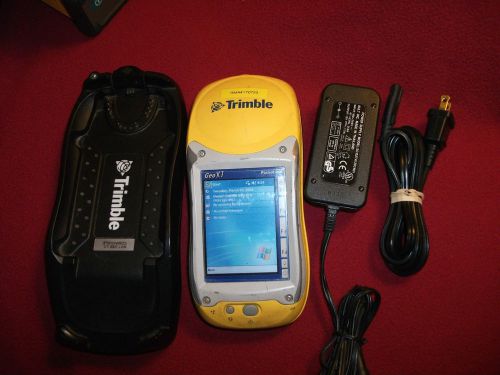
Trimble GPS 2003 Geo Explorer XT TerraSync 2.53 Pocket PC GPS Controller charger
CST FT-50X MAGNETIC LOCATOR PIN FINDER
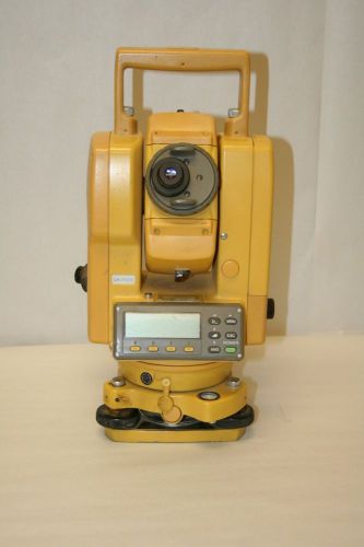
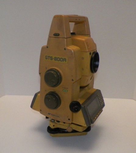
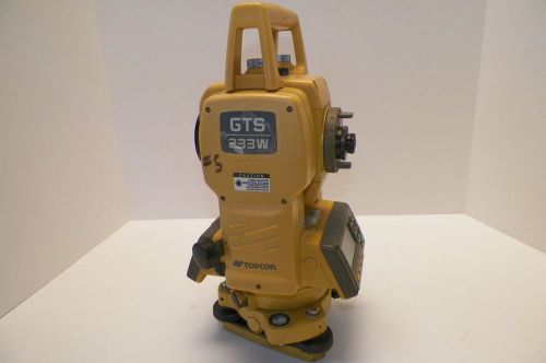
Topcon Total Station GTS-212 - (8618 - G)
Topcon total station gts-212 - (8618 - F)
GeoMax Zoom 30 5" Total Station - 5206
Surveying Prism, 3pcs, Topcon, Sokkia etc. mount
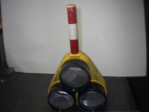
Vintage Land Surveyors triple prism holder with prisms
TOPCON GTS 805A ROBOTIC TOTALSTATION
SOKKIA SET 4230RM REMOTO CATCHER
SCHONSTEDT LOCATOR GA52CX W/ CASE
Use Your CD550 Or SV170 On A New CAT D6N
People who viewed this item also vieved
Vintage Realist David White 8300 Universal Surveying Transit Level USA With Case
Trimble 5600 3" DR Robotic Total Station
David White Surveyor Transit w/ Tripod / Case / Plumb Bob / (Model 8870)
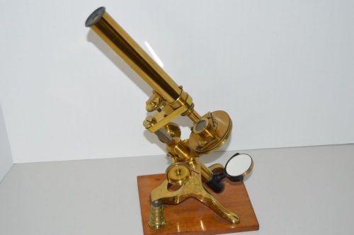
Beauriful brass Microscope in the Crouch style
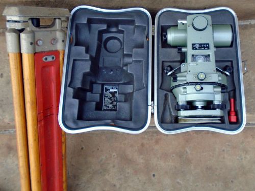
GEOTEC T-24 TRANSIT WITH TRIPOD LEG SET-SWEET AND CLEAN!
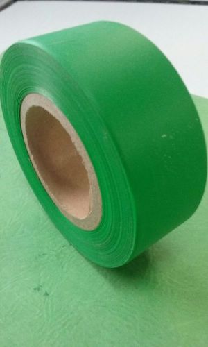
SURVEYOR'S PLASTIC FLAGGING TAPE GREEN
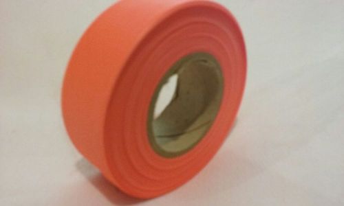
SURVEYOR'S PLASTIC FLAGGING TAPE ORANGE
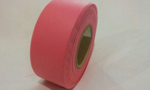
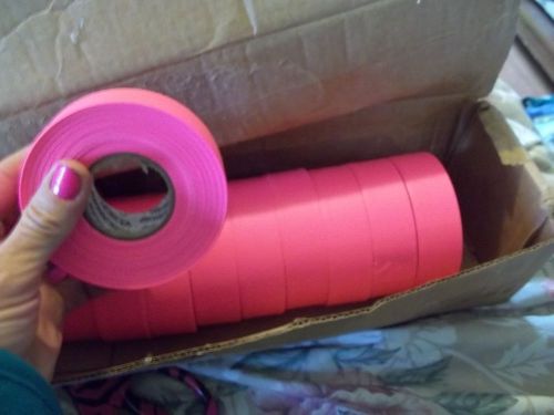
SURVEYOR'S PLASTIC FLAGGING TAPE PINK
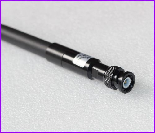
New BNC port soft rod socket Antenna 450-470MHZ for Trimble Topcon GPS RTK GNSS
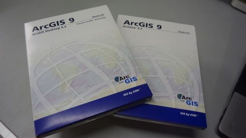
Media Kit Of ESRI ArcGIS Desktop 9.3 and ArcView 9.3 With License CD
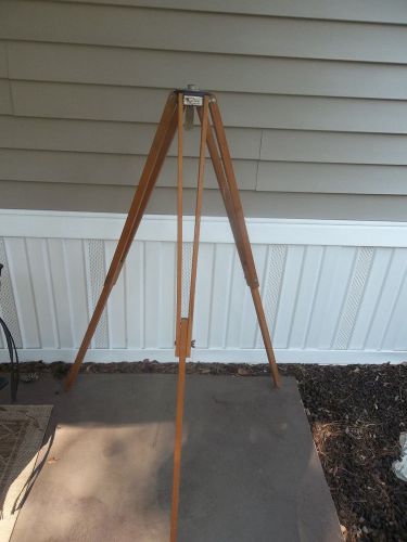
David White Instruments Realist Folding Wooden Tripod
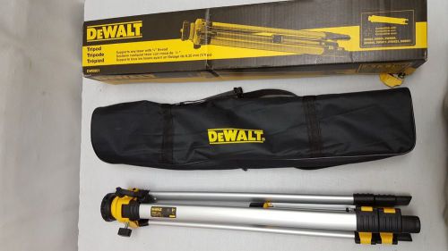
DEWALT ADJUSTABLE AND PORTABLE LASER LEVEL TRIPOD DW0881 DW #007
LOT OF 12 ROLLS OF PRESCO PINK GLO FLAGGING TAPE RIBBON SURVEY CONSTRUCTION MARK
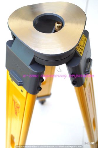
BRAND NEW N-cone Wooden Tripod for Total Station or GPS Topcon ,Sokkia, Leica
By clicking "Accept All Cookies", you agree to the storing of cookies on your device to enhance site navigation, analyze site usage, and assist in our marketing efforts.
Accept All Cookies