US $85
Directions
Similar products from Inclinometers
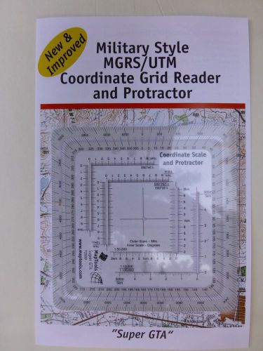
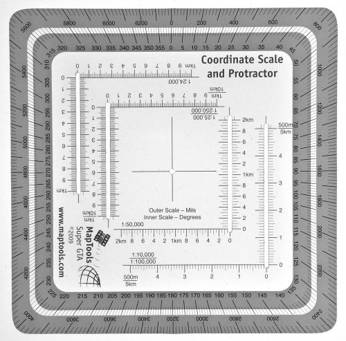
Improved Military Style MGRS/UTM Coordinate Grid Reder and Protractor MapTools
Lufkin Tool - Protractor No. C-891 Machinist, Woodworking Leather Craft
Union Tool Protractor Head Center & Finder Stanley 12221/2A Blade - Machinist
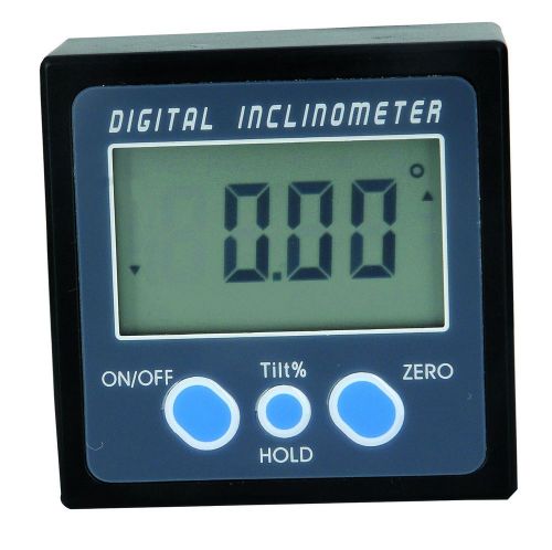
Meba Digital Magnetic Angle Gauge Cube/Protractor/Bevel Box/ Inclinometer
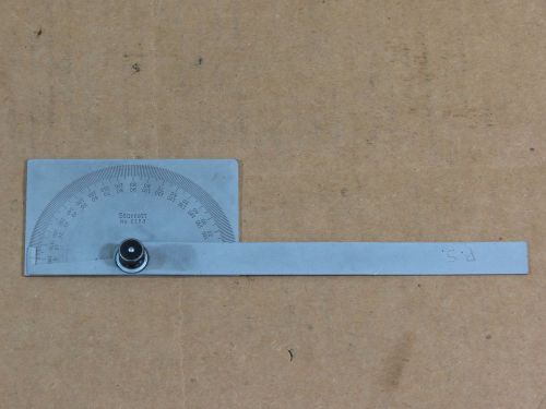
Starrett C183 Protractor,3-3/8" x 2" Rectangle Head,6" Arm,Square,0-180*
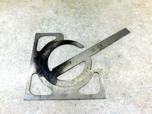
BROWN & SHARPE DRAFTSMAN'S MACHINIST PROTRACTOR B&S
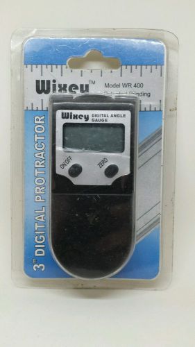
3" 75mm Wixey WR 400 Digital Angle Protractor Gage with Blade Lock
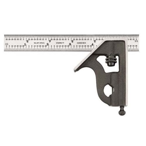
Starrett 11H-6-4R 6-Inch Combination Square with Cast Iron Head
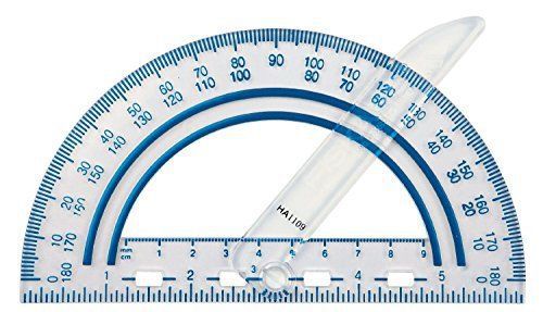
Fiskars Swing Arm Protractor Color Received May Vary Easy Read Shatter Resistant
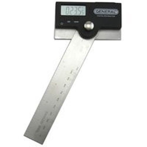
NEW GENERAL TOOL 1702 6" DIGITAL PROTRACTOR LCD DISPLAY STAINLESS SALE NEW
USED 4 PCS GENERAL TOOLS MFG. CO. INC. NO.17 SQUARE HEAD METAL
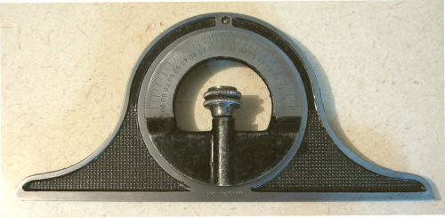
Pat'd 1883 Vintage STARRETT BEVEL PROTACTOR RULER/SCALE PIECE No. 517
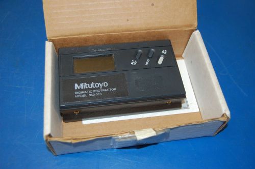
Mitutoyo Digimatic Protractor Model 950-313 (with manual)
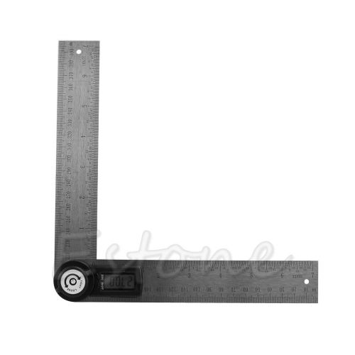
New 7" Electronic Digital Protractor Goniometer Angle Finder Miter Gauge
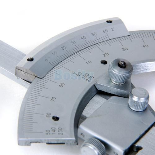
320 Universal Stainless Steel Bevel Dial Protractor Free Shipping High Quality
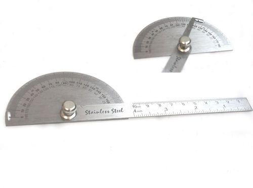
SAE Measure Stainless Steel Rotary Protractor Angle Rule Gauge Machinist Tool
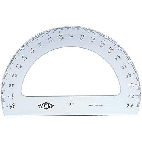
Made In USA P476 Protractor 6" Msc Drafting Equipment Brand New
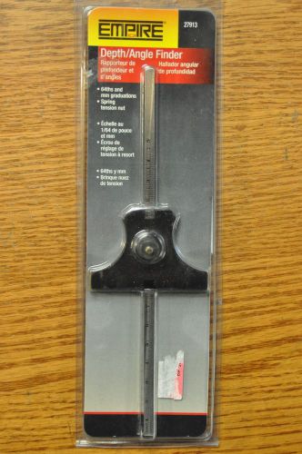
EMPIRE LEVEL DEPTH GAUGE ANGLE FINDER 27913 Depth/Angle 64ths mm FAST SHIP A13
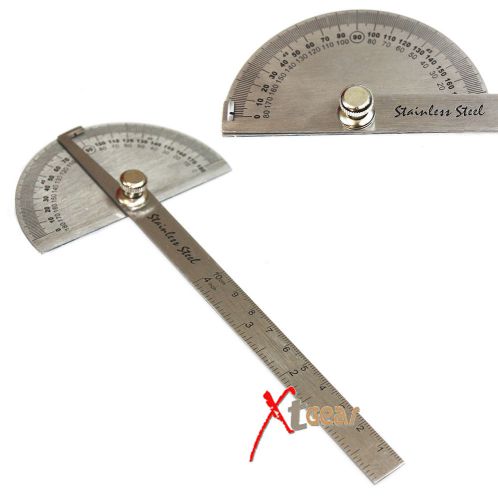
SAE Stainless Steel Rotary Protractor Angle Rule Gauge New
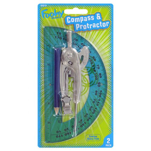
Foohy Plastic Compass & Protractor (Colors May Vary)
People who viewed this item also vieved
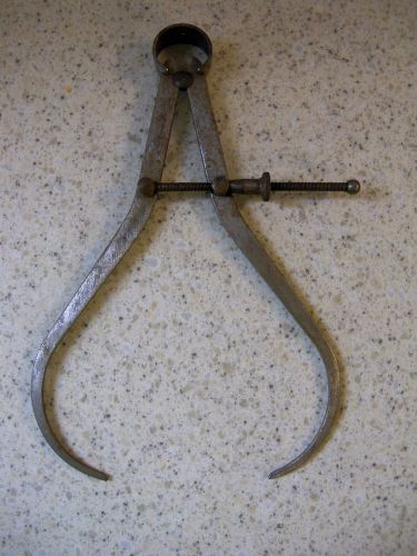
VINTAGE CALIPER - MECHANICAL TOOL
VINTAGE CENTRAL TOOL COMPANY - OUTSIDE CALIPER - MADE IN CRANSTON, RI U.S.A.
Brown & Sharpe Model 5851-12 "Hite-Icator" (CTAM# 7001)
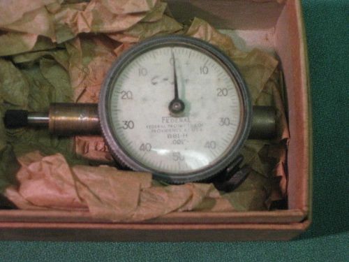
FEDERAL BBI-H .001" DIAL INDICATOR
Cadillac Gage Thread Measuring WiresPitch 80 - 5 EE9
Standard Dial Snap Gage Range 2-3"/51-76mm Resolution .0005"
Mitutoyo 164-172 (0-1", 0.0005/0.001mm) Digimatic Micrometer Head Made in Japan
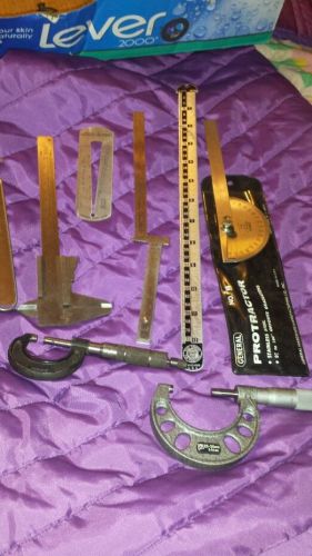
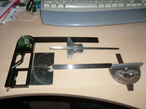
Great machinist lot caliber micro protractor and metal rulers
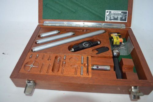
LOT Of Renishaw Cmm Probes Extensions Tp1 Ph6 Tp2 5w 3d Probe
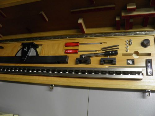
Precision 1022mm KOBA CMM Calibration Bar in Wood Case with tools.
Fowler Z-Height-E Electronic Height Gage
INDICATOR HOLDER MOORE TOOLS 4 3/4" dove tailed JIG BORE AND MILLING MACHINE
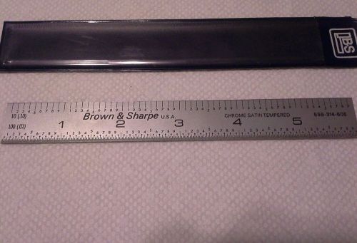
6 Inch Brown & Sharpe # 599-314-605 Scale .01 .10 one side 1/64 1/32 other side
STARRETT CB36-4R SATIN CHROME BLADE W/ SLIGHT BEND 8THS, 16THS 32NDS, 64THS 36"
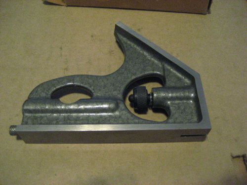
SQUARE HEAD FOR 12" SQUARE (D1314-1)
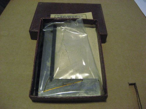
FOWLER 52-426-003 100X70 3-1/8IN SQUARE (D1257-1)
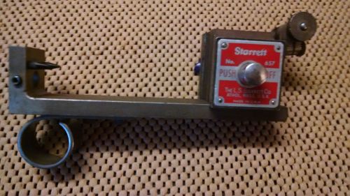
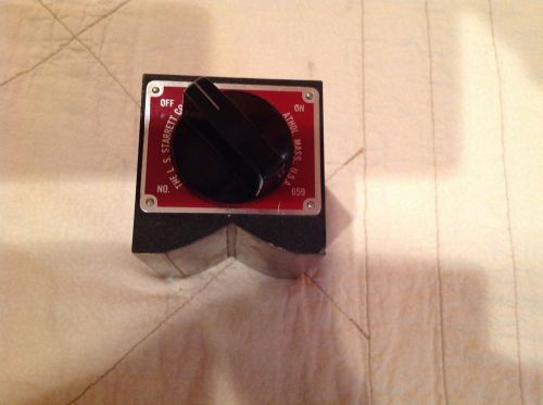
STARRETT # 659 HEAVY DUTY MAGNETIC BASE
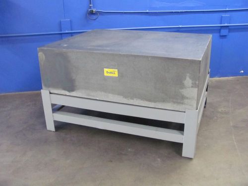
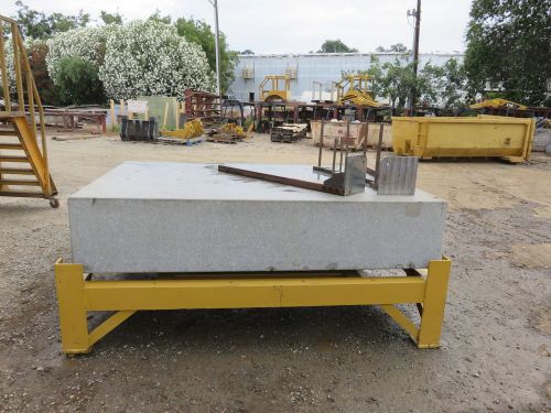
DOALL BLACK GRANITE SURFACE PLATE W STAND~48 X 60 X 18~ONTARIO, CALIF.
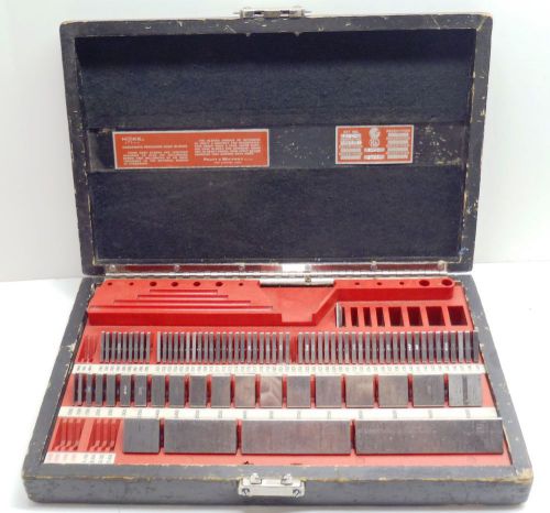
HOKE CHECKMATE PRATT & WHITNEY GAGE BLOCK SET Inspected 1969
By clicking "Accept All Cookies", you agree to the storing of cookies on your device to enhance site navigation, analyze site usage, and assist in our marketing efforts.
Accept All Cookies