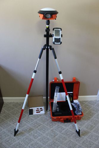
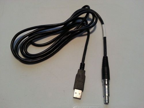
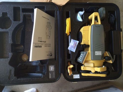
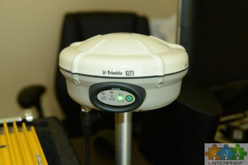
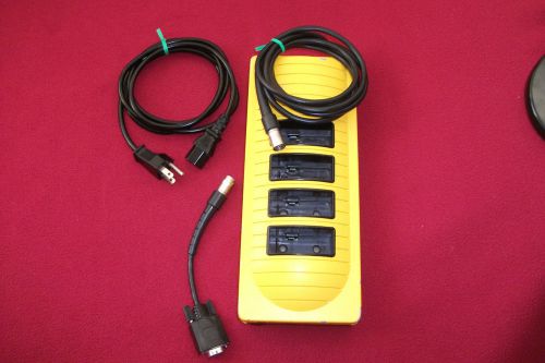
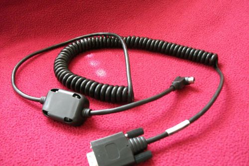
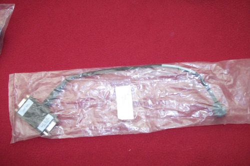
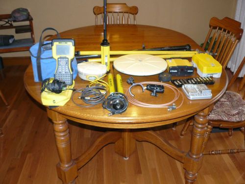
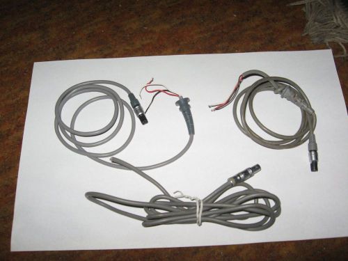
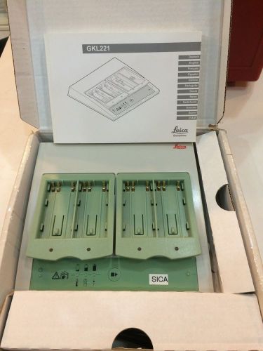
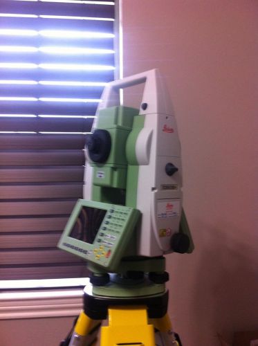
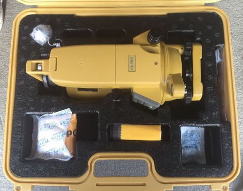
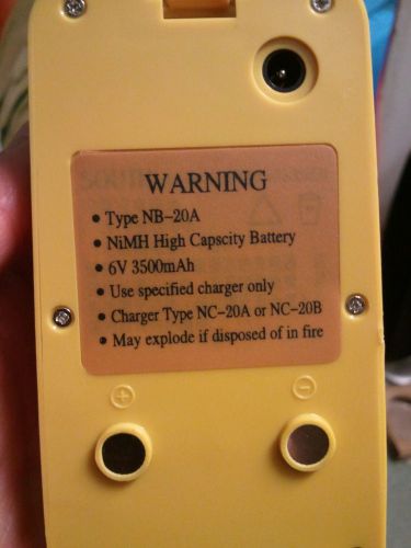
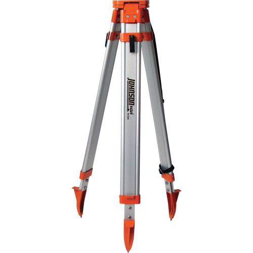
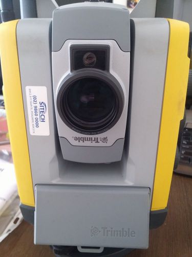
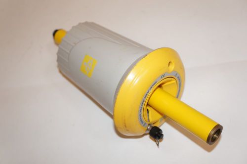
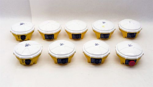
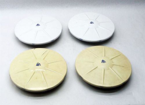
Navcom Land-Pack Network Rover (Carlson SurvCE Survey Version) The retail price of this package is $14,995. Does not include Bi-Pod in picture. Land-Pak includes: SF-3040 Receivers (Qty 1) Included - L1, L2, G1, (G2 or L5) Navigation 5Hz - StarFire Enabled - Lifetime StarFire License - RTK including Network RTK - RTK Extend Receiver Accessories Included - USB Configuration Flash Drive - Li-Ion Batteries (Qty 2) - SD Memory Cards (Qty 1) - USB Device Cable, 6ft - COM1 Serial Cable, 6ft - Battery Charger, Dual Bay (Qty 1) Hardware Accessories Included - Aluminum Rover Pole - Clamp & Pole Clamp for Controller - GPS Pocket Rod/Tape Measure - Hard Shell Transit Case LAND-PAK Controller and Software Included - NavCom Nautiz X7 Controller Kit Software Included - NavCom SurvCE - NavCom Survey 2014 - NavCom StarPoint Post Processing Software This is a special overstock purchase with more available. We can also configure the Navcom Land-Pak System for base/rover upon request. PERFORMANCE1 • Multi-constellation Support Multi-frequency GNSS GPS, GLONASS SBAS StarFire, WAAS, EGNOS, MSAS & GAGAN • Accuracy (RMS) Horizontal / Vertical RTK: <40km 1cm + 0.5ppm / 2cm + 1ppm RTK Extend (<15min) 3cm + 1ppm / 6cm + 2ppm StarFire <5cm / <10cm Static (post processed) 5mm + 0.5ppm / 10mm + 0.5ppm Velocity 0.01ms • Position & Raw data rates2 1Hz, 5Hz, 10Hz COMUNICATIONS • Integrated UHF radio 1 watt, 403-473MHz • GSM 3G Integrated in the controller • Ports 2 x RS232, USB 2.0 (Host or Device), Bluetooth™ • Data message formats Differential Correction RTCM 2.3 and 3.1, SBAS, and StarFire (proprietary) RTK Correction CMR/CMR+, RTCM, NavCom Proprietary UltraRTK™ • Memory Removable 2 GB SD cardPERFORMANCE1 • Multi-constellation Support Multi-frequency GNSS GPS, GLONASS SBAS StarFire, WAAS, EGNOS, MSAS & GAGAN • Accuracy (RMS) Horizontal / Vertical RTK: <40km 1cm + 0.5ppm / 2cm + 1ppm RTK Extend (<15min) 3cm + 1ppm / 6cm + 2ppm StarFire <5cm / <10cm Static (post processed) 5mm + 0.5ppm / 10mm + 0.5ppm Velocity 0.01ms • Position & Raw data rates2 1Hz, 5Hz, 10Hz COMUNICATIONS • Integrated UHF radio 1 watt, 403-473MHz • GSM 3G Integrated in the controller • Ports 2 x RS232, USB 2.0 (Host or Device), Bluetooth™ • Data message formats Differential Correction RTCM 2.3 and 3.1, SBAS, and StarFire (proprietary) RTK Correction CMR/CMR+, RTCM, NavCom Proprietary UltraRTK™ • Memory Removable 2 GB SD card ENVIRONMENTAL • Power Batteries Li-Ion 2.2 Ah 7.4v External Power Nominal 12v DC, 0.5A (9-32v range) • Temperature (ambient) Operating -20? to +45? C (-4? to +113? F) Storage -40? to +85? C (-40? to +185? F) • Enclosure IP66 (water resistant/dustproof) Shock resistant (2m pole drop) • Certifications FCC / CE CONTROLLER • Type Nautiz X7 • Display Sunlight readable, Color LED / Touch screen, VGA resolution (480x640) • Operating system Windows® Mobile 6.1 • Communication PAN: Bluetooth 2.0 + EDR • WLAN: Integrated 802.11b/g GSM/UMTS (HSDPA/EDGE) • Battery 5600 mAh Li-ion battery pack • Storage 4 GB iNAND Flash • Camera Integrated 3MP camera & LED Flash • Temperature -30 C to +60 C • Enclosure Waterproof (IP67), Shock/vibration resistant (MIL-STD-810G) • Certifications FCC / CE LAND-PAK DATA COLLECTOR SOFTWARE NavCom FieldGenius Key Features • Windows Interface with Smart Objects, Incredible Graphics • Real-Time Drawing Generation with Automatic Linework • Enter, edit and stake points • Built in COGO – Intersections, Inversing, Traversing • DXF Import of Background , and lines, arcs, polylines & points • 3D Data View with Dynamic Zoom, Pan, Scroll • Import/Export DXF, ASCII or FBK for painless Autodesk import • RTK network support via GSM • StarFire support • Support for total stations NavCom SurvCE Key Features • Easy to use Tab-based Menu Interface with Enhanced Graphics • Enter, edit, and stake points • Supports LandXML points - DTM, graphics, alignments, profiles & sections • Hot List lets users jump to the SurvCE 2 routines that previously had shortcuts without having to memorize key strokes. • Supports several GPS network protocols - NTRIP, TCP & UDP • Allows the user to code in numerous coding styles that may be defined by their office package. • Automatic Geodetic Transformations • RTK network support via GSM • Support for total stations LAND-PAK DESKTOP SOFTWARE NavCom SurveyCAD 2011 Key Features • Integrated Survey, Design and CAD Functions – Download, calculate, design, draft, check and print • Powerful Survey Calculations – COGO, coordinate transformations, Multi-point averaging, cluster analysis, right of ways, areas, fixed areas, mass intersections, multiple perpendicular ties and stake computations • Complete Traverse or Network Adjustments – Angle Balance, Transit, Compass, Crandall’s Classical Methods, Vertical Balance, Full 3D Least Squares Adjustment and Reprocessing & pre-analysis • Active Drawing Technology NavCom Survey 2013 Key Features • The most popular office survey solution in the U.S. and is now translated into 5 different major languages • Built on IntelliCAD 7.2 • Project Setup: Flexible data storage methods • Drawing Cleanup: Fix common drafting errors • Data Compatibility: Supports industry standard LandXML and scores of specific data conversions LAND-PAK GNSS POST PROCESSING SOFTWARE NavCom StarPoint Key Features • Base Station data - Utilize data from a dedicated or nearby base station - Automatic internet search & download data from a nearby base station(s) • Coordinate System - 62 standard datums and 22 standard ellipsoids predefined - 12 map projection templates including US State-Plane • Rigorous Automated Processing Engine - Static/Rapid static - Stop and go - Kinematic/Semi-kinematic - OTF (for single and dual frequency receivers) • Quality Control - Editing of GNSS data file properties - Graphical tools to help analyze - Common vector analysis - Least Squares Adjustment to adjust network of baselines PERFORMANCE1 • Multi-constellation Support Multi-frequency GNSS GPS, GLONASS SBAS StarFire, WAAS, EGNOS, MSAS & GAGAN • Accuracy (RMS) Horizontal / Vertical RTK: <40km 1cm + 0.5ppm / 2cm + 1ppm RTK Extend (<15min) 3cm + 1ppm / 6cm + 2ppm StarFire <5cm / <10cm Static (post processed) 5mm + 0.5ppm / 10mm + 0.5ppm Velocity 0.01ms • Position & Raw data rates2 1Hz, 5Hz, 10Hz COMUNICATIONS • Integrated UHF radio 1 watt, 403-473MHz • GSM 3G Integrated in the controller • Ports 2 x RS232, USB 2.0 (Host or Device), Bluetooth™ • Data message formats Differential Correction RTCM 2.3 and 3.1, SBAS, and StarFire (proprietary) RTK Correction CMR/CMR+, RTCM, NavCom Proprietary UltraRTK™ • Memory Removable 2 GB SD card 1Performance dependent on location, satellite geometry atmospheric conditions and GNSS corrections. 2LAND-PAK comes with 5Hz Standard. Contact your dealer for other options. Technical specifications
By clicking "Accept All Cookies", you agree to the storing of cookies on your device to enhance site navigation, analyze site usage, and assist in our marketing efforts.