US $199.50
| Condition: |
New: A brand-new, unused, unopened, undamaged item in its original packaging (where packaging is
applicable). Packaging should be the same as what is found in a retail store, unless the item is handmade or was packaged by the manufacturer in non-retail packaging, such as an unprinted box or plastic bag. See the seller's listing for full details.
...
|
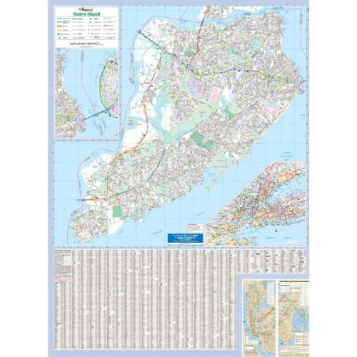
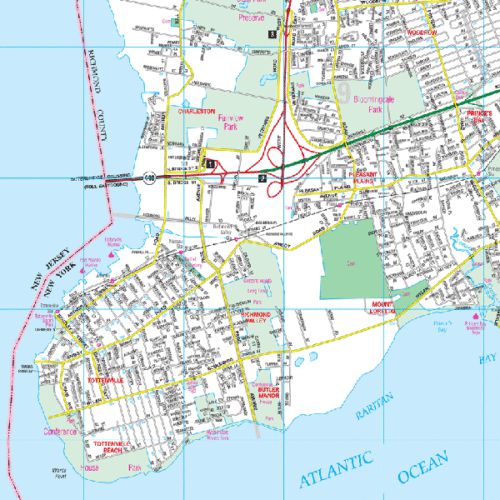
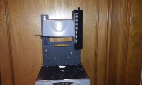
Brand | Kappa Map |
Directions
Similar products from Other Office Products
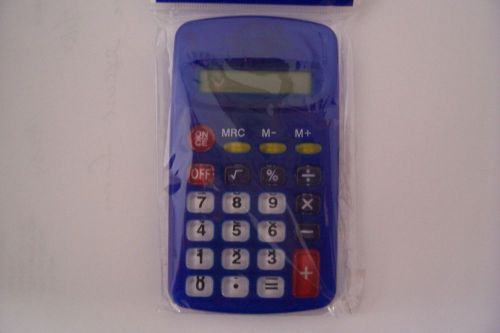
8 DIGIT DISPLAY POCKET CALCULATOR
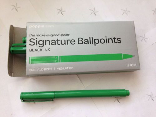
Poppin Signature Ballpoints EMERALD BODY BLACK INK MEDIUM TIP 12 PENS
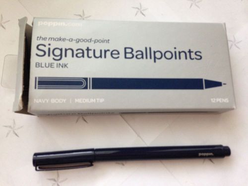
Poppin Signature Ballpoints NAVY BODY BLUE INK MEDIUM TIP 12 PENS
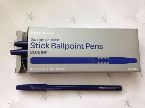
Poppin Stick Ballpoint BLUE BODY BLUE INK MEDIUM TIP 12 PENS
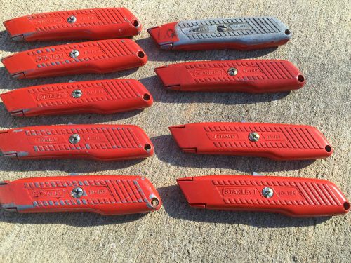
Stanley 10-189C Self-Retracting Safety Utility Knife Lot Of 9

Mossimo Bikini Bottoms ~ Aqua Gold & Bronze Metallic ~ L NWT bathing swimsuit
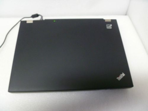
LENOVO T410 INTEL CORE i7 M620 2.66GHZ 4GB RAM LAPTOP TYPE:2518-BGU
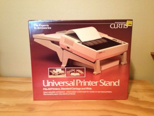
Curtis Univerasl Printer Stand
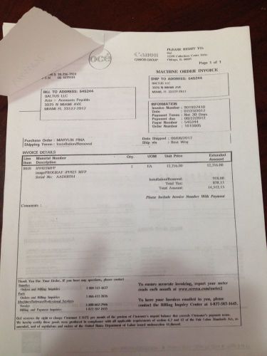
ImagePROGRAF iPF825 MFP CANNON (44"iPF 815/825) 160 GB HDD. WITH PRINTER
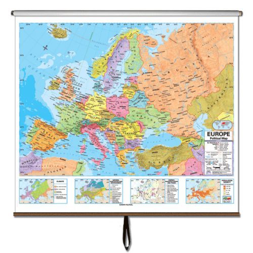
Universal Europe Advanced Political Laminated Roller Map
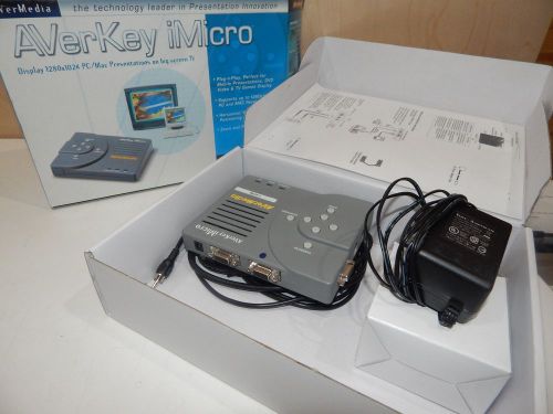
f004) AVerMedia AverKey MICRO PC to TV Converter
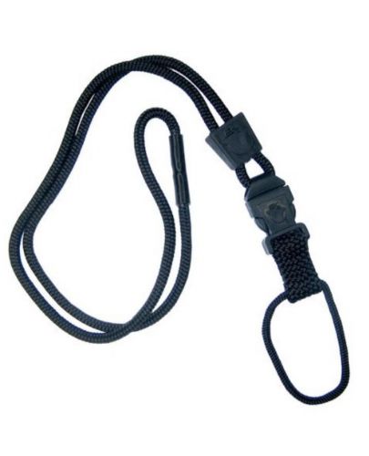
Black EK Lanyard Plus with Detachable Soft End (10252) by EK USA
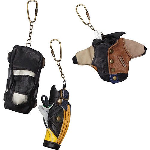
AmeriLeather Leather Key Chains (36 pc. Pack) Business Gift NEW

Kimberly Clark Kimtech Cleaning Wipes 280ct x 10 = 2800 wipes KIM 34155 - NEW
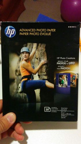
HP Advanced Glossy Photo Paper-20 sht/5 x 7 in New Sealed pack Q8690

Nike Dri-Fit PINK 2-Layer Tennis Skirt Bra Top DRESS L 12 14 Ball Pockets skort
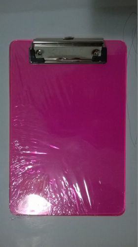
BAZIC Memo Size Plastic Clipboard with Low Profile Clip
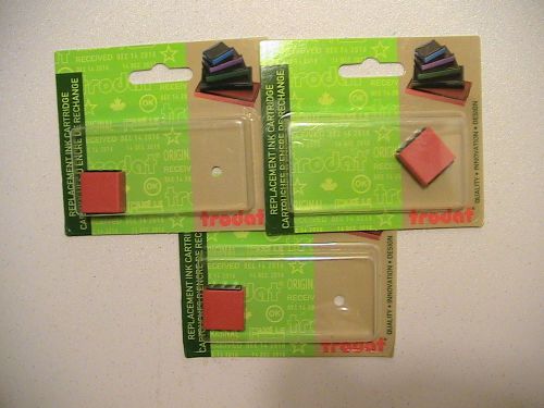
3x NEW Trodat S-Printy Small-Size Stamp Replacement Pad 4921 red
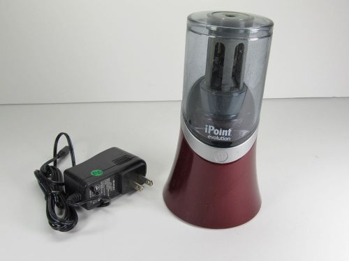
Ipoint Evolution Electric Pencil Sharpener, Maroon
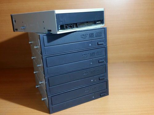
Lot of 5 Dell IDE DVD-RW CD-RW Burner Optical Drives ND504 0ND504 GWA-4164B
People who viewed this item also vieved
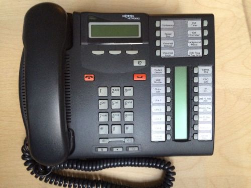
Lot of 3 Nortel Office Phone T7316e - Charcoal
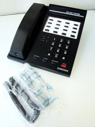
LOT 6 Samsung Prostar 812 Black 12 Button Telephone NO STANDS REFURB WARNTY
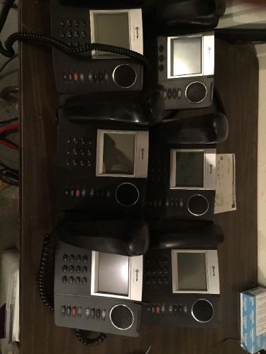
LOT OF 6 Mitel 5235 IP Phone VoIP LCD Phone with Stand and Handset POWER / RESET
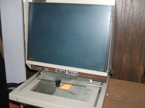
MDI C.O.M. 150 Microfiche Viewer, Dual Lens
Dukane magnifying reader model 27A25B
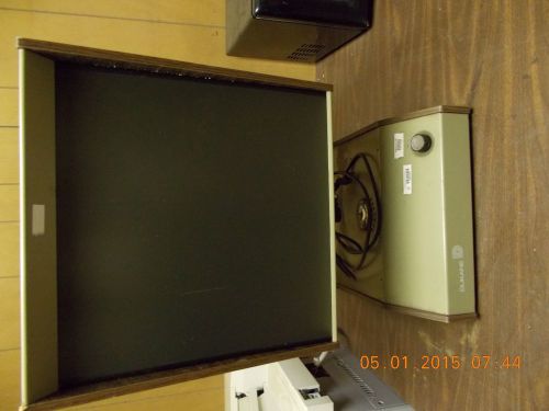
SunRise 2000+ Microfilm scanner
By clicking "Accept All Cookies", you agree to the storing of cookies on your device to enhance site navigation, analyze site usage, and assist in our marketing efforts.
Accept All Cookies