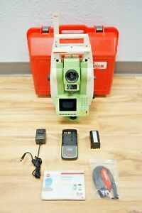
C $1,040.00
| Condition: |
New – Open box: An item in excellent, new condition with no functional defects. The item may be missing original
packaging and may have been used for testing or demo purposes. The item includes accessories found with the original product and may include a warranty. See the seller's listing for full details and description.
...
|
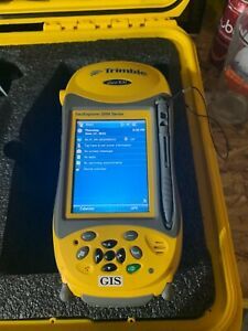
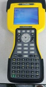
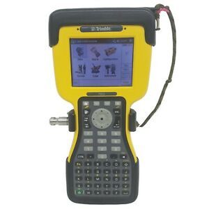
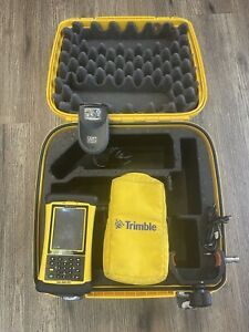
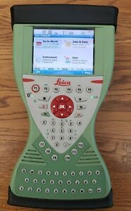
Product | Data Collector |
| Model | 70950-50 | ||
| Brand | Trimble | ||
| Country/Region of Manufacture | Mexico | ||
| Custom Bundle | Yes | ||
| Modified Item | No | ||
| UPC | Does not apply |
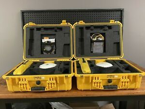
Directions
Similar products from Total Station Kits
2.4Ghz Radio Antenna Replacement for Trimble TDS Ranger 300,300X,500,500X (TNC)
TRIMBLE TSC2 w/ TerraSync Software VGC.
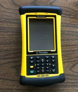
Trimble Nomad 900 Data Collector Handheld Computer
Geodimeter GDM 571 143 542. ***UNTESTED***
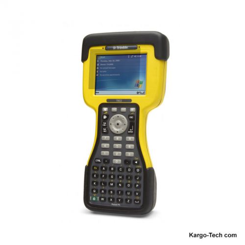
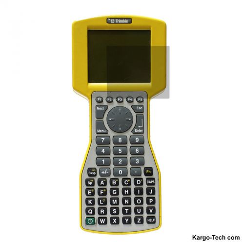
TDS Trimble TSC2 Ranger Data Collector w/Survey Controller v12.46 WiFi BT
2 Trimble R8 Model 4 GPS GNSS Receiver. 1 TSC 3 With Radio And 1 TSC 3 For Parts
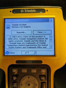
Trimble TSC 2 with SCS900 software (Version 2.92 Build 8)
Trimble Nomad 6GB Survey GPS Data Collector w/ Stylus
Apera Instruments 1413 µS/cm Conductivity Standard Calibration Solution, 8 oz.
Apera Instruments 12.88 mS/cm Conductivity Standard Calibration Solution,8 oz.
Bracket GPS/RTK with Compass Pole Clamp Open Data Collector Cradle
Topcon GX-60 Control Box Display w/ Multiple Autos
Leica CS15 Data Collector Controller
Trimble RTS673 3" DR HP Robotic Total Station Kit w/ Accessories
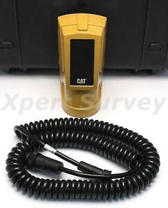
CAT ST400 Sonic Tracer For GCS900 Grade Control System 79533-50 ST-400 Trimble
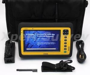
Trimble YUMA 2 Tablet PC Computer Data Collector w/ Site Controller SCS900 V3.75
Leica TS12 R400 Reflectorless Robotic Total Station 5" Sec + TS 12 RH16
SITEPRO 10-52139 Quick Relear Cradel for TSC7, Ranger 7
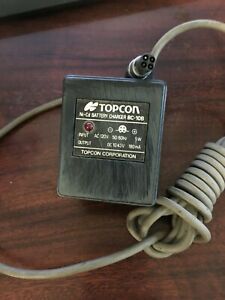
TOPCON Ni-Cd Battery Charger BC-10B
People who viewed this item also vieved
Trimble TDS RANGER X Screen Protector, Screen Guard Film LCD Display protector
Trimble TDS TSC1 Screen Protector, Screen Guard Film LCD Display Touch protector
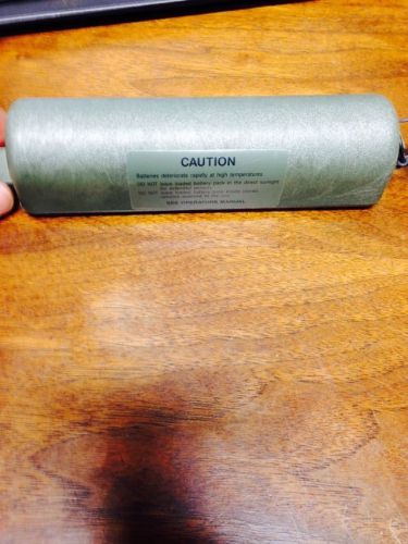
Gps Trimble Navigation Battery Pack Ba6800
Leica Geosystems Piper 100 Pipe Laser Package
Trimble Service Part, Eyepiece f/11, DiNi 0.7, 7093349956000
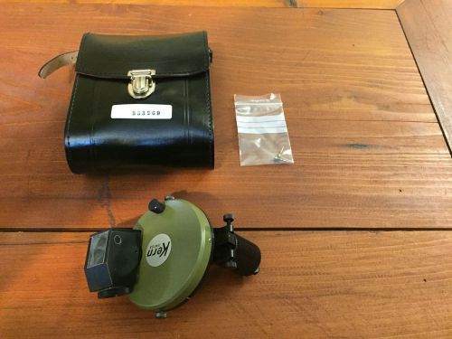
KERN AARAU COMPASS FOR THEODOLITE DKM1 DKM2 SURVEYING
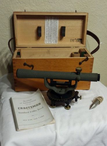
VINTAGE CRAFTSMAN TRANSIT LEVEL WITH DOVETAIL WOOD BOX/MANUAL-VERY NICE!!
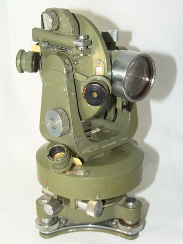
MEOPTA THEODOLITE made in Czechoslovakia
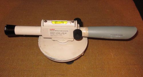
Realist Sight Level David White Instruments Model LP6-20 Transit 20X & Case
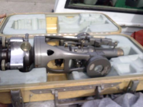
SALE 50% Brunson Precision Sight Level Transit w/ Brunson Cushion Carry Case
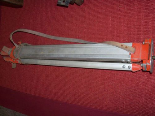
U.S.A Made Chicago Steel Tape Co. Aluminum Transit Surveyor Tripod
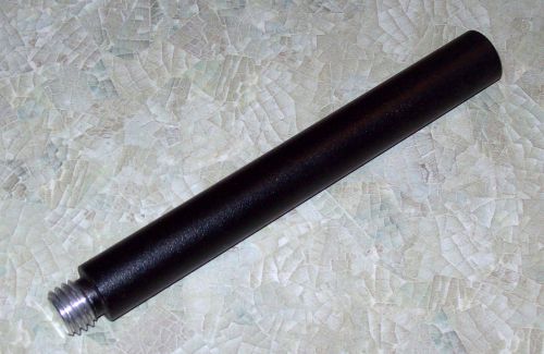
SPECTRA-PRECISION TRIMBLE 5/8"-11 ALUMINUM PRISM POLE M-F EXTENSION 6" - NEW
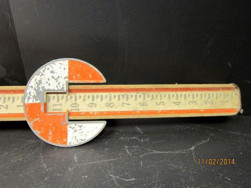
Vintage David White 9 FT Surveying Wood Measurement Pole Ruler Good- Small Crack
13 ft Leica Barcode Survey Rod Pole ~ 3 piece ~ Made in Germany REDUCED
By clicking "Accept All Cookies", you agree to the storing of cookies on your device to enhance site navigation, analyze site usage, and assist in our marketing efforts.
Accept All Cookies