

US $1,750.00
| Condition: |
New: A brand-new, unused, unopened, undamaged item in its original packaging (where packaging is
applicable). Packaging should be the same as what is found in a retail store, unless the item is handmade or was packaged by the manufacturer in non-retail packaging, such as an unprinted box or plastic bag. See the seller's listing for full details.
...
|
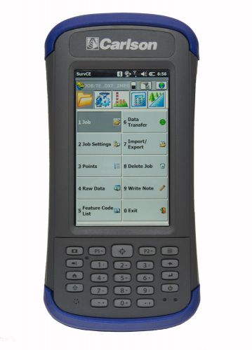
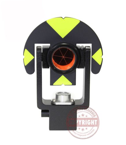
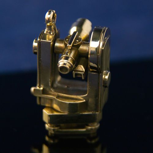
Brand | Carlson |
| Country/Region of Manufacture | United States | ||
| MPN | 2014.005.001 |
Directions
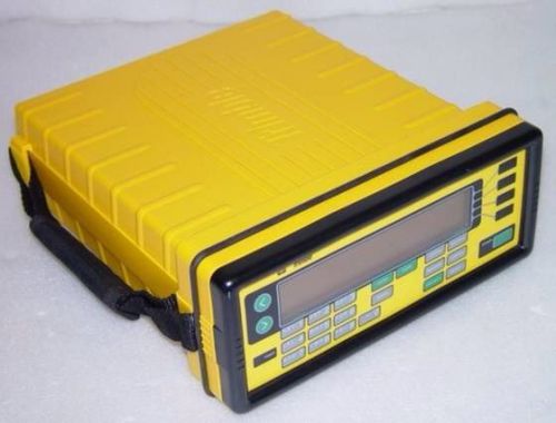
Similar products from Other Standard & Laser Levels
Sokkia T Style Reflective Target Sheets RS10T - 10x10mm 400 Targets 634511
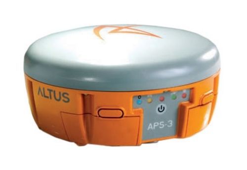
Altus APS-3u GPS Rover Package with Carlson Mini II Data Collector
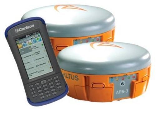
Altus Complete GNSS Base/Rover with Carlson Mini II Data Collector
Topcon Single Reflector 64mm Prism Target Station SPS11 In Case Site Survey Tool
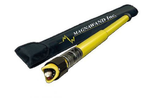
Magnawand ID2100 Magnetic Locator with FREE Soft Case

Carlson Civil Software 2015 with IntelliCAD or Runs on Existing AutoCAD License

Carlson Civil Suite 2014 - Survey, Civil, Hydrology and GIS?
Carlson Mini II Standard Data Collector with SurvCE Basic (Total Station)?
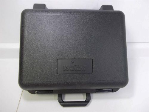
Black Lasermark Wizard Plastic "Case Only" Handle Detector Model# 57-LD120 New
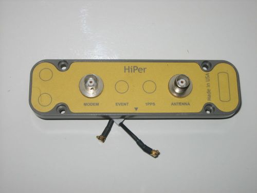
Topcon Hiper Ag GPS Positioning survery system Antenna connector parts working
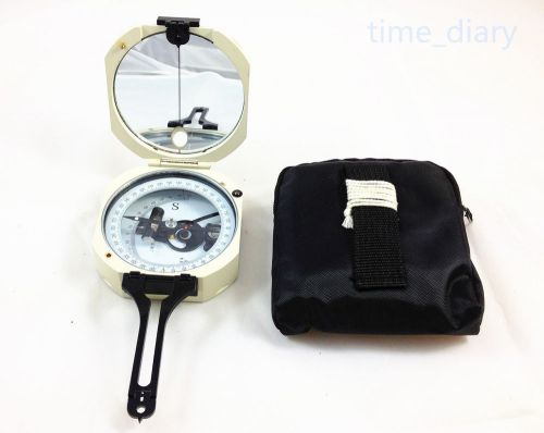
NEW High Quality DQL-3 Geology Compass,Pocket transit,metal Compass
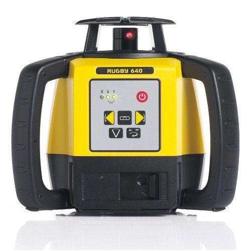
Leica Rugby 640 w/ Rod Eye-Basic & Alkaline Battery - Interior and Exterior Use
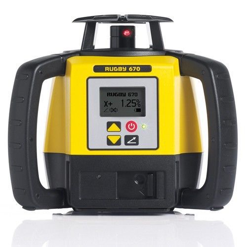
Leica Rugby 670 Slope Laser Single Grade w/ Alkaline Battery Pack, Rod-Eye Basic
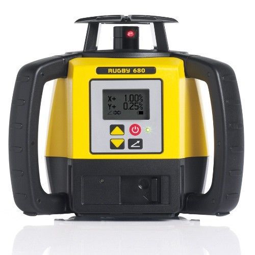
Leica Rugby 680 Slope Laser Dual Grade w/ Alkaline Battery Pack, Rod-Eye Basic
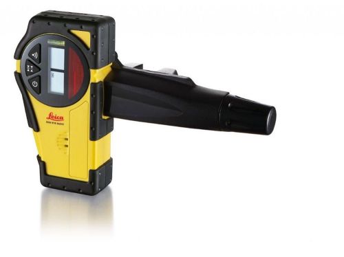
Leica Rod Eye Basic Receiver with Clamp
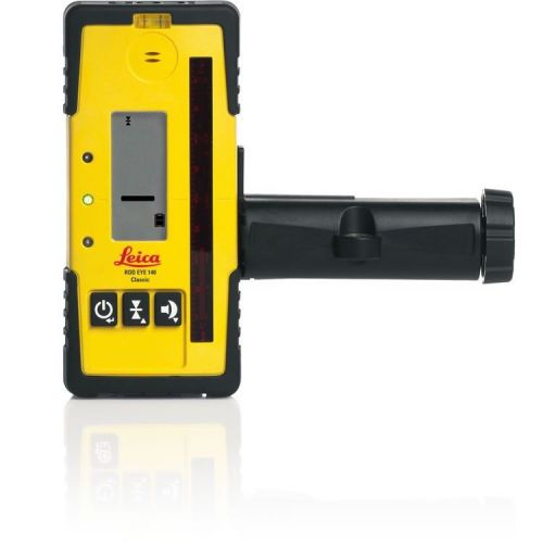
Leica Rod Eye 140 Classic Receiver with Clamp
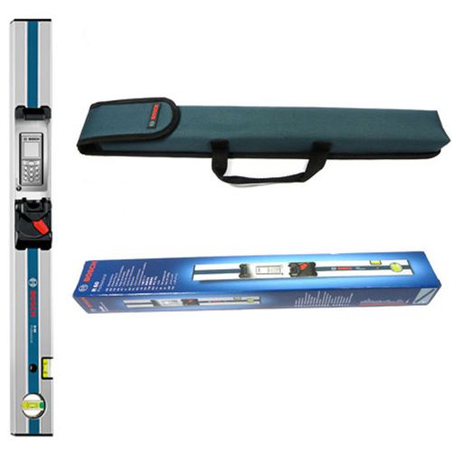
Bosch R60 Measuring Rail 600mm - For use with GLM 80 inclinometer function
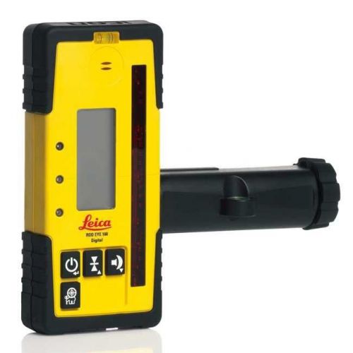
Leica Rod Eye 160 Digital Receiver and Bracket
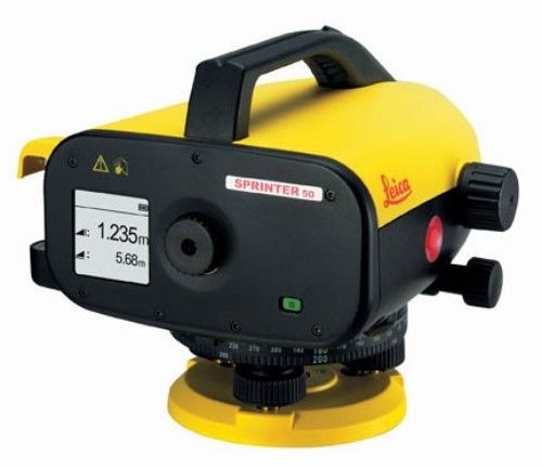
Sprinter 50 (DECIMAL Feet Display) Electronic Level Package
People who viewed this item also vieved
LEICA STYLE SURVEYING MINI PRISM FOR TOTAL STATION, GMP101, WILD, PEANUT
CST/berger 56-DGT10 Digital Transit with Vertical Tilt Sensor
TS20A Leitz Sokkisha Theodolite Surveyor Scope w/ Case Plumbing Meteorology
Vintage Lietz Sokkisha Japan No. 60818 Surveyor Transit Level w/ additional part
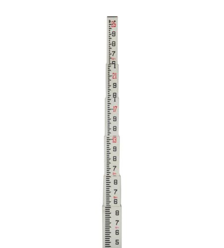
Telescopic 25' Fiberglass Surveying Leveling Grade Rod Tenths 10th Rectangular
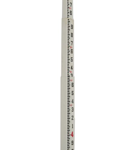
AdirPro Telescopic 20' Fiberglass Grade Leveling Rod - Tenths 10th Rectangular
AdirPro Telescopic 20' Fiberglass Grade Leveling Rod Inches 8ths Rectangular
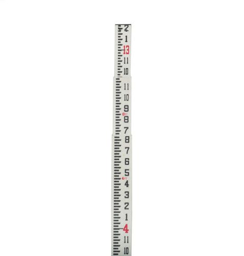
AdirPro Telescopic 13' Fiberglass Grade Leveling Rod Feet - Inches Rectangular
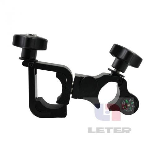
GETAC PS336 / PS236 Hand thin bracket / with compass / RTK bracket
Leica Model TC800 3" Total Station WORLDWIDE SHIPPING #2
Topcon GPS Model Hiper + Plus P/N: 01-840801-01 Base or Rover WorldWide Shipping
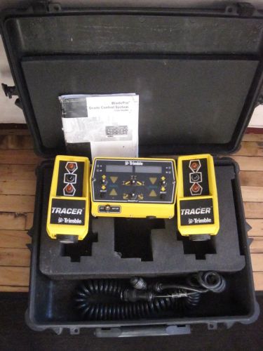
Trimble Bladepro Motorgrader Control System With Sonic Tracers
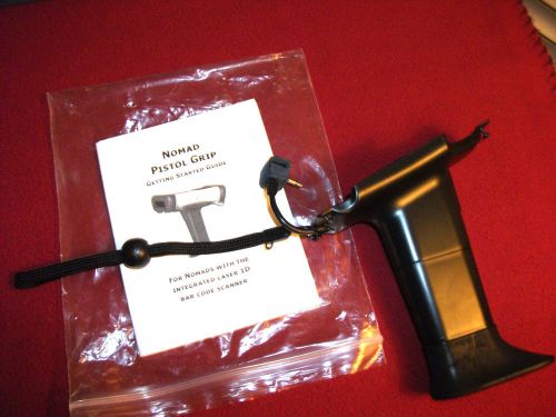
Trimble GPS Nomad Pistol Grip Laser Barcode Scanner with trigger button
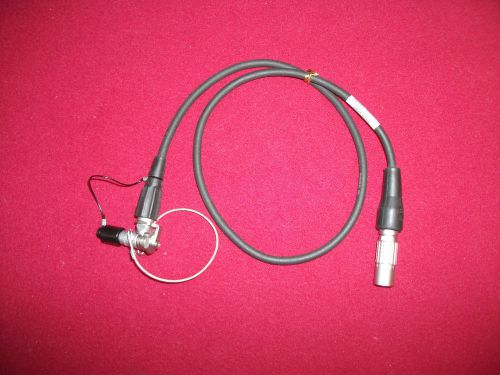
Trimble GPS 7pin M 7pin F Radio Cable converter Pac Crest Topcon Sokkia 4000 R8
By clicking "Accept All Cookies", you agree to the storing of cookies on your device to enhance site navigation, analyze site usage, and assist in our marketing efforts.
Accept All Cookies