US $950.00
| Condition | Used
:
An item that has been used previously. The item may have some signs of cosmetic wear, but is fully operational and functions as intended. This item may be a floor model or store return that has been used. See the seller’s listing for full details and description of any imperfections.
|
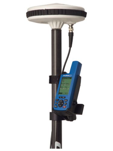
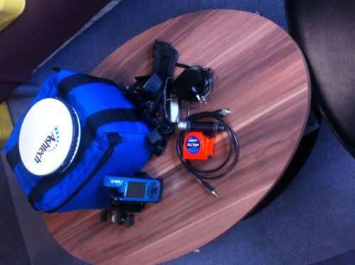
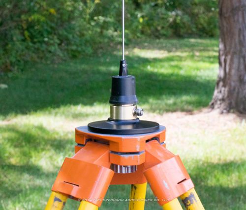
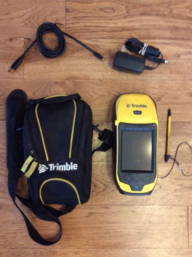
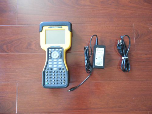
| Seller Notes | “Good condition. The system is ProMark 2 receiver with external antenna and some other accessories. Post-processing software Ashtech Solutions provides simple and accurate ProMark2 data processing with a user-friendly Windows® interface.” |
Directions
Similar products from Other Standard & Laser Levels
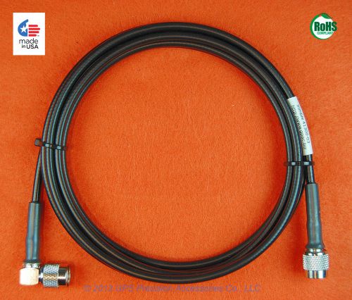
Leica GEV141 (667200) GPS Antenna Cable with "TNC" connectors
Leica GEV142 (667201) GPS Antenna Cable with "TNC" connectors
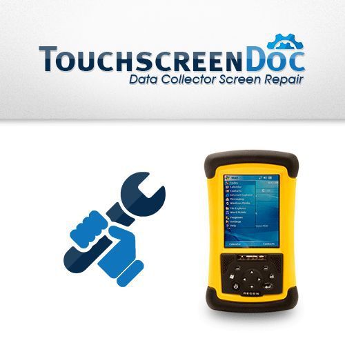
Trimble / TDS / Spectra RECON - LCD Touch Screen Replacement Repair Service
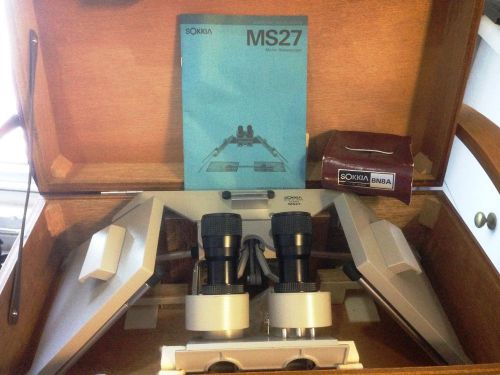
Sokkia MS27 Mirror Stereo Scope with Sokkia BN3 and BN8A optics, never used.
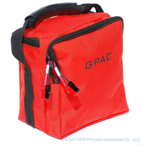
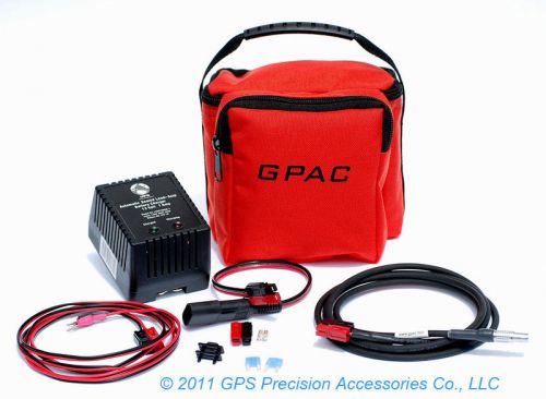
GPAC 1218 Battery Pack for Geometer 600 / Trimble 5600 - 1218G6
GPAC Battery Pack for Topcon GB-500, GB-1000, & Hiper - 1209TOP1
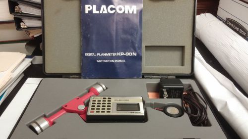
KP-90N Placom Digital Planimeter
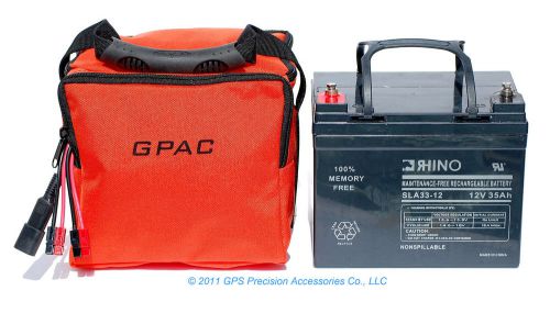
GPAC Battery Pack for Pacific Crest ADL, PDL Base, HPB, & RFM96W - 1235P1
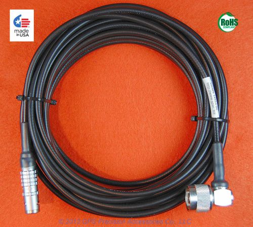
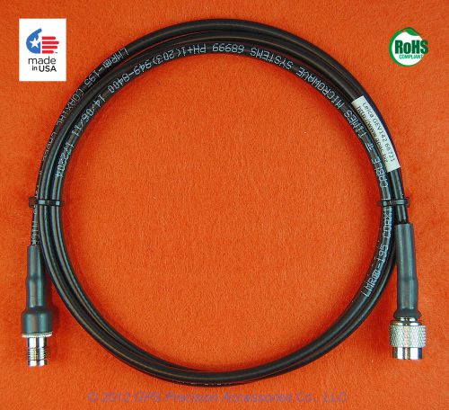
Trimble 14553-00 GPS Antenna Cable with "N" & LEMO FFA connectors
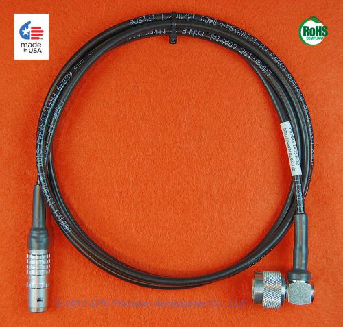
Trimble 14553-02 GPS Antenna Cable with "N" & LEMO FFA connectors
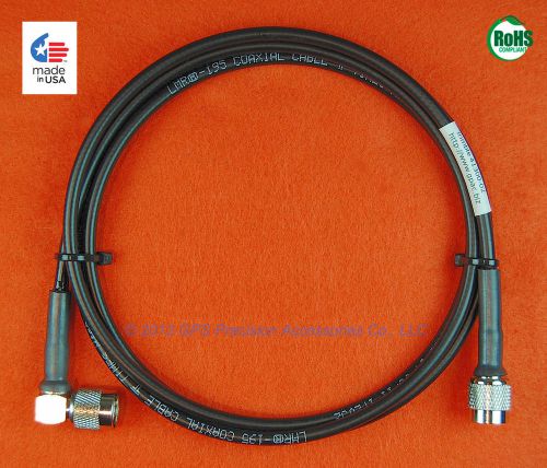
Trimble 41300-02 GPS Antenna Cable with "TNC" & Right Angle "TNC" connectors
Trimble 41300-05 GPS Antenna Cable with "TNC" & Right Angle "TNC" connectors
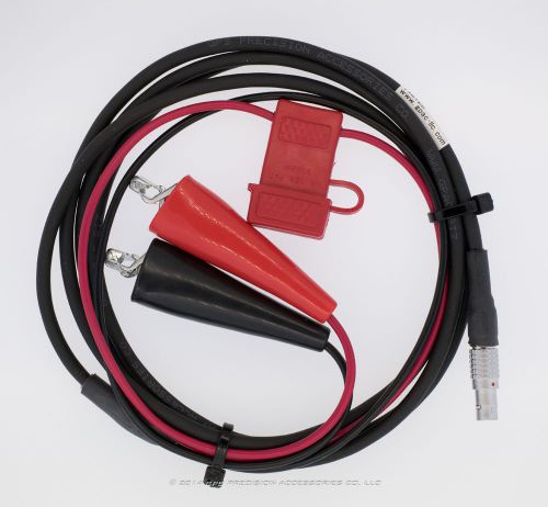
Trimble 46125 Heavy Duty Power Cable
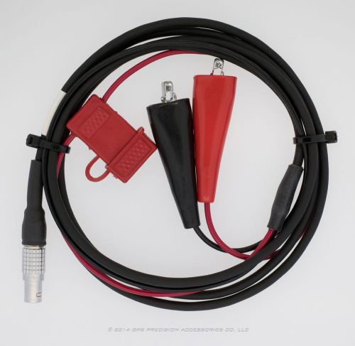
Trimble 4000 GPS Heavy Duty Power Cable
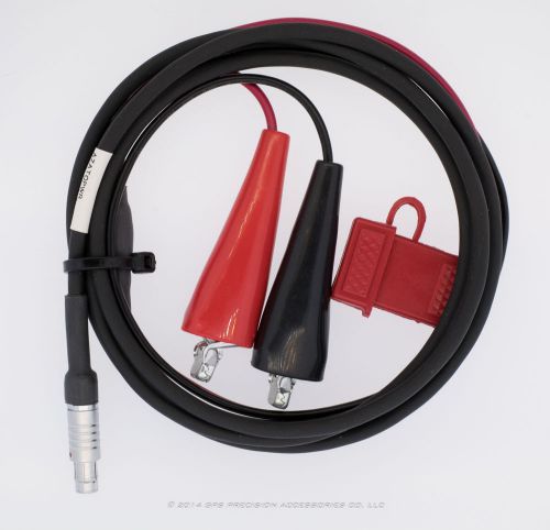
Ashtech Z-Surveyor or Z-Extreme GPS Heavy Duty Power Cable
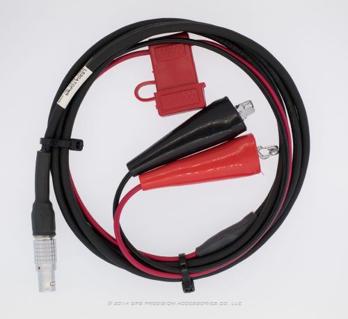
Leica SR530 & System 1200 Heavy Duty Power Cable
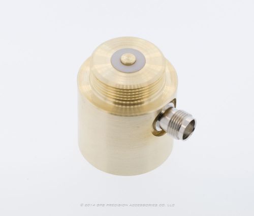
Pacific Crest A02304 Brass Antenna Adapter
Pacific Crest A02304 Brass Antenna Adapter and Tripod Hardware
Leica GZS4-1 Height Hook Art. No.: 667244
People who viewed this item also vieved
CST/Berger DGT2 Digital Transit/Theodolite FOR REPAIR
Surveying Transit/C.L. Berger for Honeywell
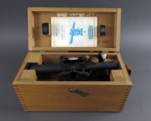
Craftsman 789-46212 Farm Level / Service Transit Level with Case & Plumb Line
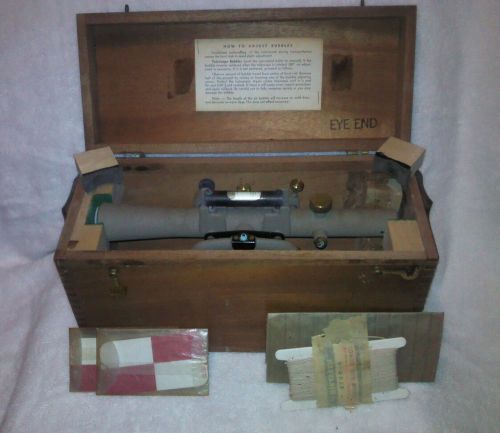
Vintage Sears Craftsman survey transit,farm level,w/original dovetail box
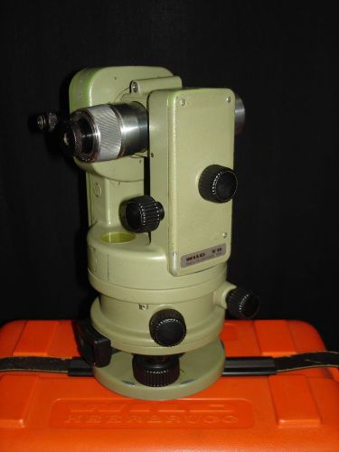
WILD HEERBRUGG T2 MILITARY THEODOLITE WITH CASE - CLEAN SURVEYORS TRANSIT
2012 Trimble GeoExplorer GeoXT 6000 Series
Ashtech Promark 3 GPS Recivers and Accessories
KERN Swisse Tripod adapter mount for DKM Series Theodolites
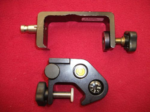
Trimble GPS Pole Clamp Cradle Level bobble compass TSC1-2 TSCE TDS Topcon Leica
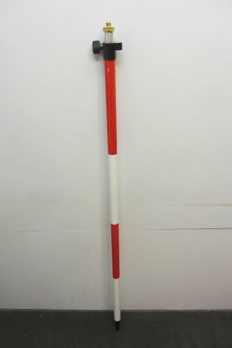
Aluminum Graduated Robotic Survey Rover Rod (cm/10ths) 55"-97"
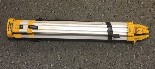
**DeWalt DW0736 Threaded Flat Head Construction Tripod
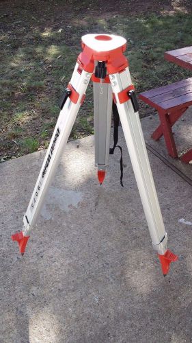
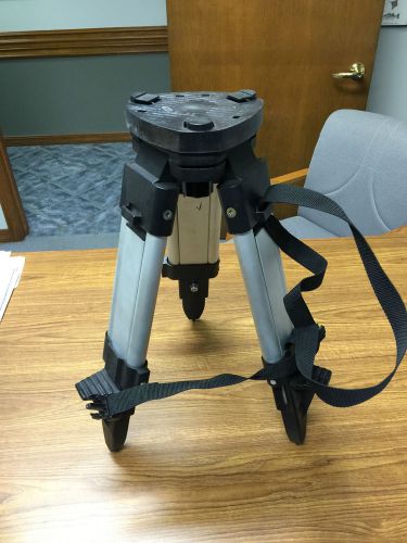
David White 9075R Dome Head Aluminum Quick Release Adjustable Extension Tripod
By clicking "Accept All Cookies", you agree to the storing of cookies on your device to enhance site navigation, analyze site usage, and assist in our marketing efforts.
Accept All Cookies